What is recorded here
Marked as a circular embanked enclosure (ext. diam. c. 30-40m) on the 1839 ed. of the OS 6 inch map. It is located on a level, low-lying landscape. No antiquity is visible at ground level, although field boundaries now describe a triangle (dims c. 40m N-S; c. 40m E-W) with the apex at S that is open on the N side.
The above description is derived from the published 'Archaeological Inventory of County Wexford' (Dublin: Stationery Office, 1996). In certain instances the entries have been revised and updated in the light of recent research.
Compiled by: Michael Moore
Date of upload/revision: 20 August, 2013
The monument record does not grant public access. Check the route and ask the landowner before entering private land.
- What survives
- Recorded monument
Places near here
 bridgebridge · 516 yd
 Baldwinstown Garda Síochána Stationgarda station/constabulary barracks · 574 yd
 Enclosure in RalphtownEnclosure · 595 yd
 Chapel & Burial Ground (Site of)Church · 796 yd
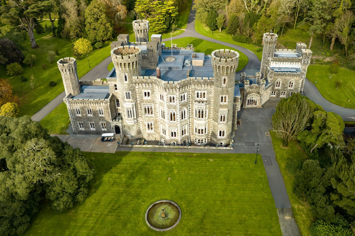 CastleRuins · 1045 yd
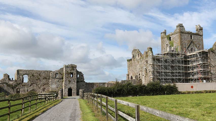 Castle (Site of)Castle, unclassified · 1072 yd
 Cull IslandIsland · 3.1 mi
 Ballyteigue BurrowNature reserve · 3.9 mi
 Carrickatinna RockMountain / peak · 4.0 mi
 Skeater RockMountain / peak · 4.2 mi
 1798 Memorial PlaqueMemorial · 4.4 mi
 The Heron's MeadowForest · 4.4 mi