What is recorded here
On a low-lying level landscape. Circular grass-covered area (diam. 53m E-W) defined by an overgrown earthen bank (at E: Wth 3.6m; int. H 0.5m; ext. H 1.1m) N-SSE and by a low scarp (at W: H 0.5m) SSW-NNW. There is no visible fosse or entrance, and it is bisected by a N-S railway line. A hearth (RO042-171----) (diam. c. 0.6m) was found in archaeological testing (02E0616) c. 100m to the NW (Morahan 2004a). Archaeological testing (12E0236) by Martin Byrne immediately to the W failed to produce any related archaeological material. See Excavations.ie (2012: 510).
Compiled by: Michael Moore
Date of revised upload: 29 September, 2015
Amended: 4 February2020
The monument record does not grant public access. Check the route and ask the landowner before entering private land.
- What survives
- Recorded monument
Places near here
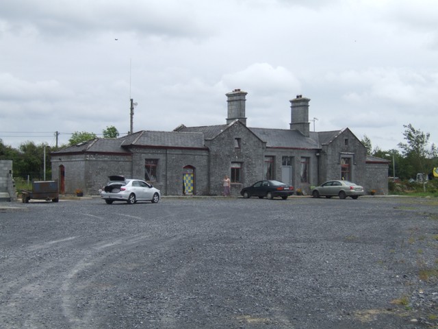 Knockcroghery Railway Stationrailway station · 172 yd
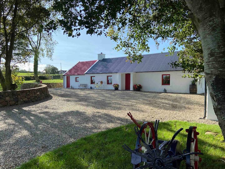 Embanked enclosureFairy fort / earthen ringfort · 509 yd
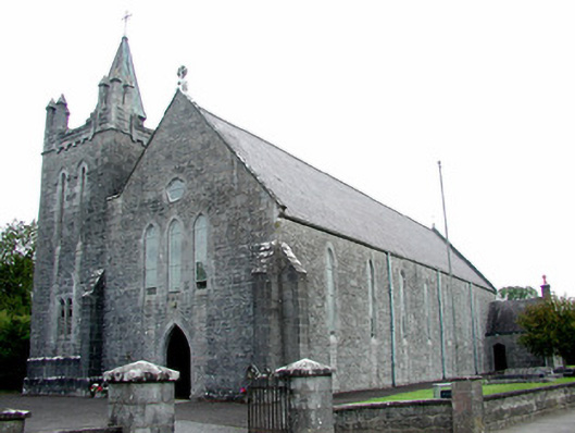 Saint Patrick's Catholic Churchchurch/chapel · 523 yd
 Hangman's HillMountain / peak · 1105 yd
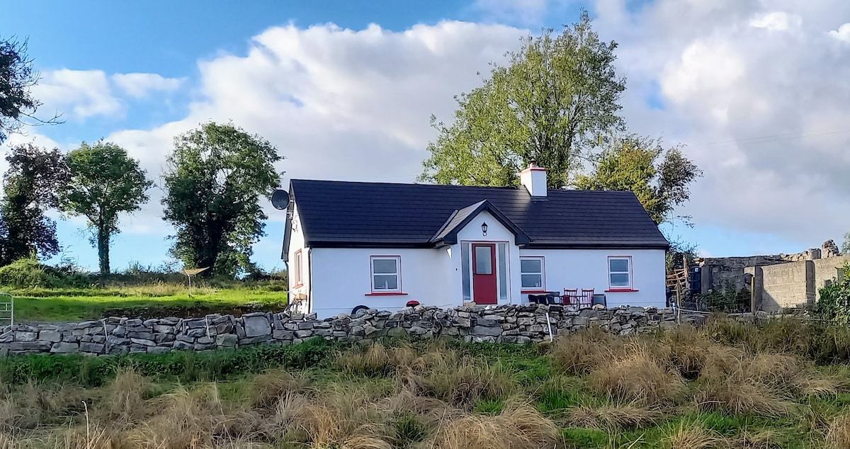 Not idicatedFairy fort / earthen ringfort · 1214 yd
 Galey CastleCastle, tower house · 1412 yd
 Galey BayBay · 1.0 mi
 IndicatedCastle, unclassified · 1.6 mi
 Cruit PointHeadland · 1.7 mi
 Sedgy IslandIslet · 2.2 mi
 Dogs IslandIslet · 2.4 mi
 Ballymurray ForestForest · 2.8 mi