What is recorded here
Situated on a fairly level landscape. This is a D-shaped overgrown area (dims. c. 35m NE-SW; c. 25m NW-SE) defined by an earthen bank (Wth c. 5m; int. H 1.3m; ext. H 1.9m) with an outer fosse (Wth 3.6m; D 0.8m). The perimeter is truncated by a NW-SE road bank at SW. There is no visible entrance. Archaeological testing (04E0991) over an extensive area (dims c. 120-m NW-SE; c. 50m NE-SW) to the NW produced no related material (Bates and Hurley 2004; excavations.ie 2004:1798).
The above description is derived from the published 'Archaeological Inventory of County Wexford' (Dublin: Stationery Office, 1996). In certain instances the entries have been revised and updated in the light of recent research.
Compiled by: Michael Moore
Date of upload/revision: 19 August, 2013
The monument record does not grant public access. Check the route and ask the landowner before entering private land.
- What survives
- Recorded monument
Places near here
 Saint Paul's Church (Kilcavan)church/chapel · 424 yd
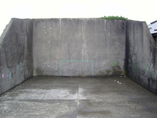 handball alleyhandball alley · 540 yd
 Font (present location) in DanescastleFont (present location) · 637 yd
 Danes Castle (in ruins)Castle, tower house · 642 yd
 Carrig-On-BannowVisitor information · 887 yd
 1798 MemorialMemorial · 941 yd
 CrossesCross (present location) · 968 yd
 CastleCastle, tower house · 1736 yd
 Cullenstown StrandBeach / strand · 2.0 mi
 Ballymadder PointHeadland · 2.3 mi
 Blackhall StrandBeach / strand · 2.3 mi
 Bridges ChamberCave · 2.5 mi