What is recorded here
Embanked enclosure is a fairy fort or earthen ringfort in Carrigeen (ballintober North By.), County Roscommon, Ireland. It occupies a bend in a small east-west stream that forms the townland boundary with Barravally. The circular site remains unplanted inside a coniferous forest, where an overgrown earthen bank and fosse define its perimeter.
On the N bank of, and in a bend of, a small E-W stream, which forms the townland boundary with Barravally. Circular overgrown area (diam. 31m E-W; c. 29m N-S) which remains unplanted in a coniferous forest, defined by an overgrown earthen bank (Wth 3.5-4m; int. H 0.7-0.8m; ext. H 1.1-1.2m) separated by a fosse (Wth of top 4.8-6m; Wth of base 2.8-3m; D 1.5-1.6m) from an outer bank (Wth 4.2-4.6m; H 0.9-1.3m) which is incorporated into a field bank at N. There is no identifiable original entrance, and the stream circumscribes the perimeter NE-SW at a distance of c. 5m (max. ext. diam. 49.3m E-W).
Compiled by: Michael Moore
Date of upload: 24 August 2010
The monument record does not grant public access. Check the route and ask the landowner before entering private land.
- What survives
- Recorded monument
Places near here
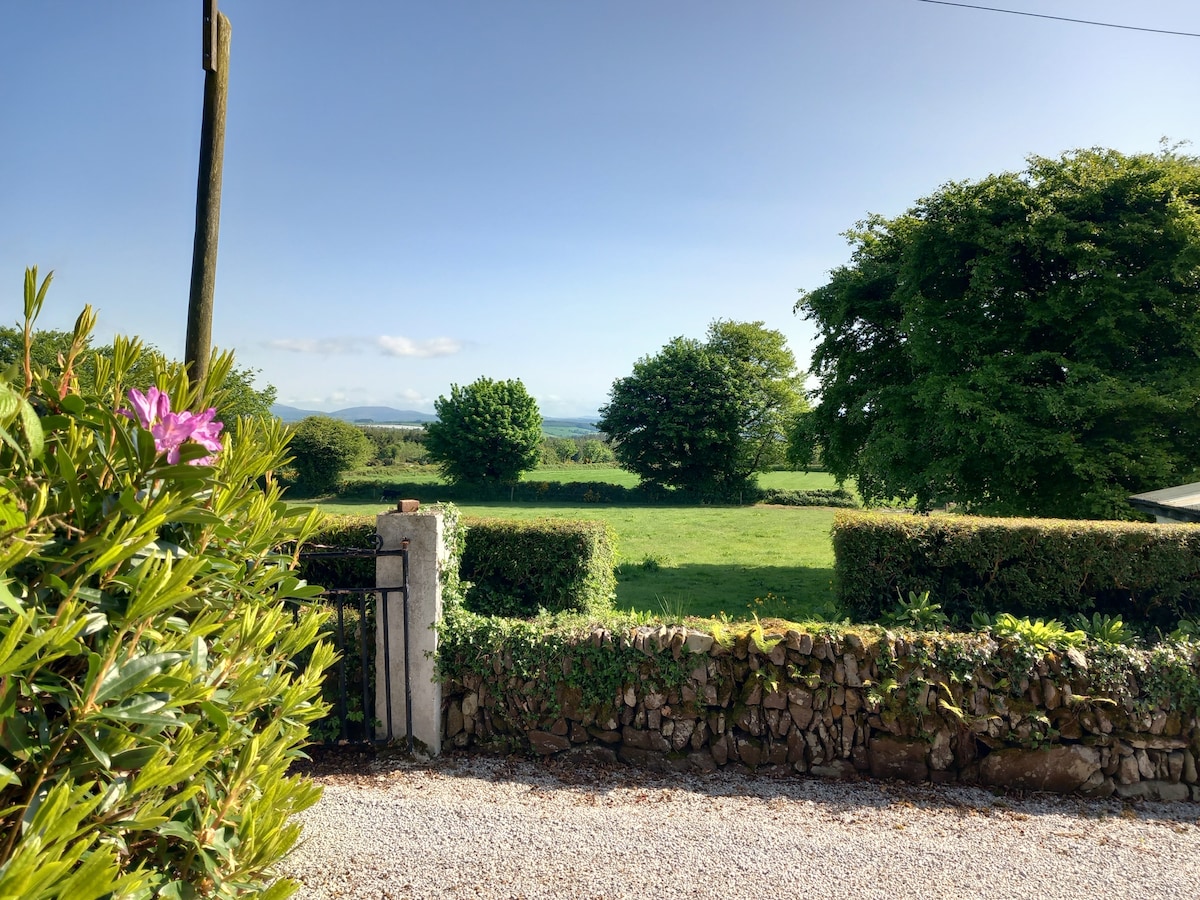 Embanked enclosureFairy fort / earthen ringfort · 453 yd
.jpg) IndicatedSettlement cluster · 972 yd
IndicatedSettlement cluster · 972 yd Church in Glebe (ballintober North By., Kilglass North Ed)Church · 1363 yd
 Goat IslandIslet · 1.0 mi
 Garrymond IslandIslet · 1.5 mi
 Kilglass ChurchRuins · 1.9 mi
 Coarse IslandForest · 2.4 mi
 Cavan & Leitrim RailwayMuseum · 4.1 mi
 CastleCastle, unclassified · 4.1 mi
 Caslans WoodForest · 4.3 mi
 Site of Dangan CastleCastle, unclassified · 4.3 mi
 Strokestown ParkHeritage attraction · 5.2 mi