What is recorded here
In pasture, located on the E-facing slope of a N–S ridge on ground that falls gently towards the Manulla River. This was house was built in the early 18th-century by Gerald Cuff. It is said to have been burnt during the Rebellion of 1798, and is marked ‘in ruins’ on the 1838 OS 6-inch map. Greatly ruined two storey house (int. 25m NW–SE; 12.8m NE–SW) of undressed limestone and red brick, approached from W by an avenue. (An archaeological Survey of the Belcarra area, Co. Mayo Survey. A Fás/Belcarra Community co-op project, 1988-89. Unpublished).
Compiled by: Jane O'Shaughnessy
Date of upload: 14 July 2015
The monument record does not grant public access. Check the route and ask the landowner before entering private land.
- What survives
- Recorded monument
Places near here
 Elmhall Church in ruinsChurch · 657 yd
 IndicatedFairy fort / earthen ringfort · 816 yd
 CaherFairy fort / stone ringfort · 885 yd
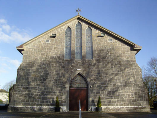 Saint Anne's Catholic Churchchurch/chapel · 1131 yd
 French Hill MonumentMemorial · 1.8 mi
%20(1).jpg) Guesdian CastleCastle · 1.9 mi
Guesdian CastleCastle · 1.9 mi CastleCastle, unclassified · 2.2 mi
 Breaffy WoodsWood · 2.3 mi
 Black mulberryBlack mulberry · 2.4 mi
 Cerberus, from Thomastown HouseMemorial · 4.1 mi
 Ballintubber AbbeyHeritage attraction · 4.7 mi
 Battle of CastlebarMajor battlefield · 4.8 mi