What is recorded here
In gently undulating low-lying pasture, 37m upriver from Monaster Bridge (LI031-009001-), on the Camoge River, which also forms a townland boundary between Monaster North and South. Cistercian monastery of Monasteranenagh (LI031-050004-) lies 170m to SSE. Annotated ‘Eel Weir’ on the 1840 ed. OSi map to E of Monaster Bridge. A second eel weir (LI031-050003-) lies 50m upriver to E. According to Power (1930, 46), ‘At the suppression, in 1540, the abbey [Monasteranenagh] was found possessed of a great estate – sixteen townlands, a mill and watercourse with eel and pike weirs in the Camoge’. Westropp (1889, 238), refers to a type of medieval fish trap in the vicinity of Monasteranenagh Abbey (LI031-050003-): ‘There are some remains of a detached building near the Cammogue, perhaps a mill, though the country people say that a rope from a net in the river rang a bell in it when a salmon was captured’. Remains of stone built fish weir visible in the Camoge River to the E of the bridge opposite Monasteranenagh Abbey. According to local information the river was last dredged at this point during drainage works in 1978.
See attached Google Earth orthoimage and photographs taken by the ASI
Compiled by: Alison McQueen and Vera Rahilly
Date of upload: 27 October 2020
The monument record does not grant public access. Check the route and ask the landowner before entering private land.
- What survives
- Recorded monument
Places near here
 Burial GroundChildren's burial ground · 53 yd
 Church (in ruins)Church · 56 yd
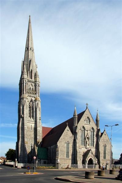 Watch Ho.Building · 68 yd
 Grave YardGraveyard · 200 yd
 Monasteranenagh AbbeyHeritage attraction · 225 yd
 Bawn in Rathmore NorthBawn · 1.1 mi
 Bawn in TullovinBawn · 1.5 mi
 European ashEuropean ash · 1.8 mi
 Biodiversity in the Maigue CatchmentVisitor information · 2.3 mi
 Dysert AenghusaHeritage attraction · 3.4 mi
 Villiers WellSpring · 3.7 mi
 Kinnoor WellSpring · 4.9 mi