
What is recorded here
The church of Templenacroha (WX030-022----) could be within an ecclesiastical enclosure that would include the enclosure (WX030-023----) c. 30m to the SE on the other side of an E-W road. A geophysical survey conducted for the Raheen Development Association and aided by the Heritage Council produced evidence of a fosse forming an arc W-N at the W edge of the triangle where the church is located. (Bonsall and Gimson 2004; Stafford 2004-05, 200)
Compiled by: Michael Moore
Date of upload: 16 August, 2012
The monument record does not grant public access. Check the route and ask the landowner before entering private land.
- What survives
- Recorded monument
Places near here
 IndicatedFairy fort / ringfort · 947 yd
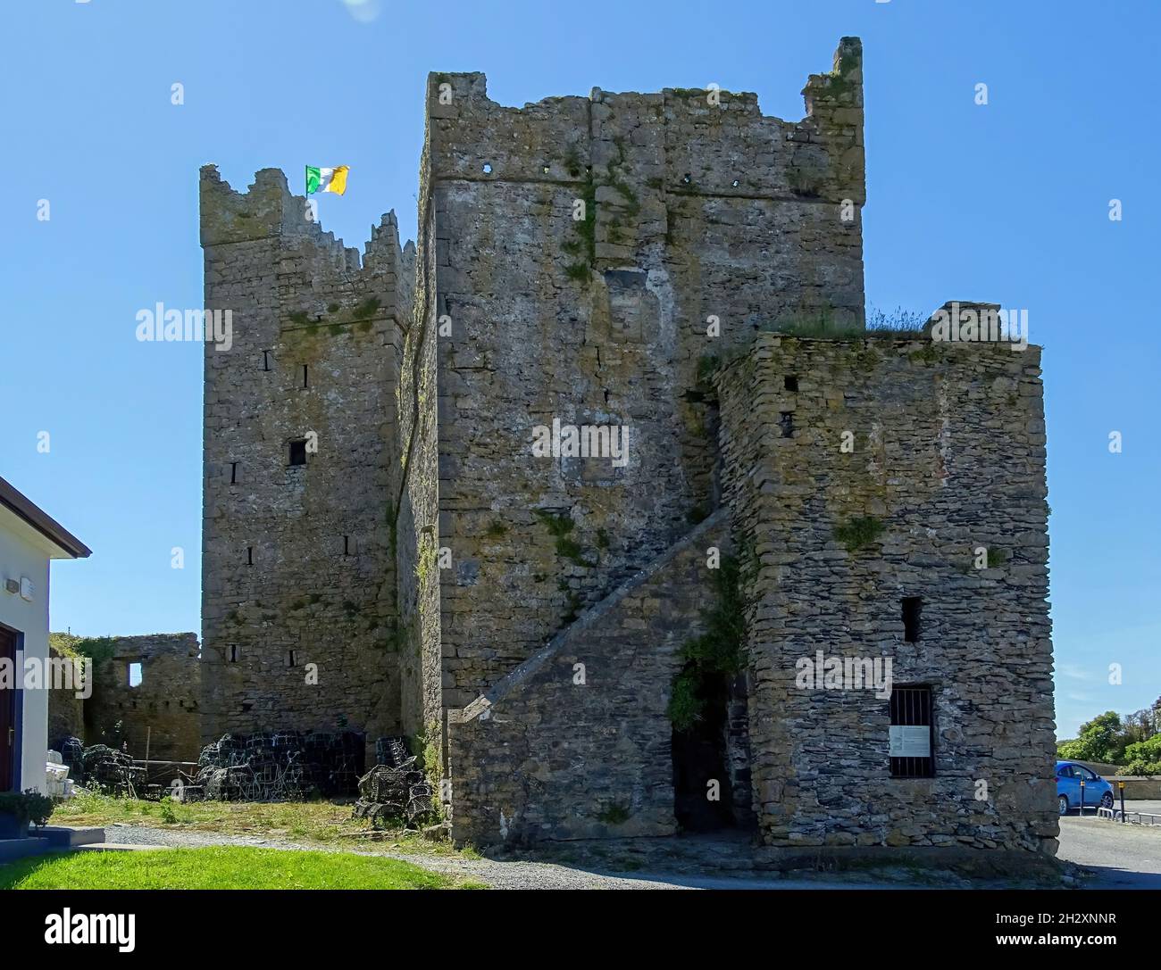 Embanked enclosureFairy fort / earthen ringfort · 1093 yd
 Palace East Junction Railway Stationrailway station · 1343 yd
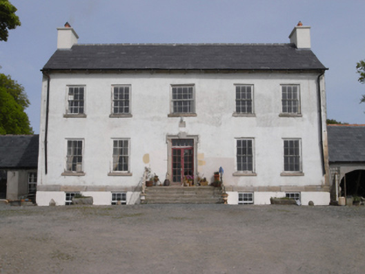 Robinstown Housefarm house · 1.4 mi
 Carrickmastia HillMountain / peak · 1.9 mi
 Old Ross MoteCastle, motte and bailey · 2.2 mi
 Site of CastleCastle, unclassified · 2.2 mi
 Carrickbyrne HillMountain / peak · 3.2 mi
 Glenour MonumentMemorial · 3.4 mi
 Forest Of The DunbrodyForest · 3.9 mi
 1798 RebellionMemorial · 4.1 mi
 Silver WattleSilver Wattle · 5.8 mi
Other information
Photo: Credit not shown in the picture search · Rights wording not checked; contact us if this picture should be removed