
What is recorded here
The church stands towards the E end of an oval enclosure (c. 45m E-W by 30m N-W) defined on the E by a well-defined scarp and along the S by an earth-and-stone bank; this is likely to represent an element of the original ecclesiastical enclosure. Further evidence of two possible outer enclosures is visible as crop-marks on an aerial photo (OS 89877) with a radius of c. 70m and c. 140m respectively (Corlett 2014, 102).
Compiled by: Geraldine Stout
Updated by: Paul Walsh
Date of upload: 20 May 2015
The monument record does not grant public access. Check the route and ask the landowner before entering private land.
- What survives
- Recorded monument
Places near here
 Church (in Ruins)Church · 12 yd
 Tully Grave YardGraveyard · 26 yd
 CrossCross, High cross · 130 yd
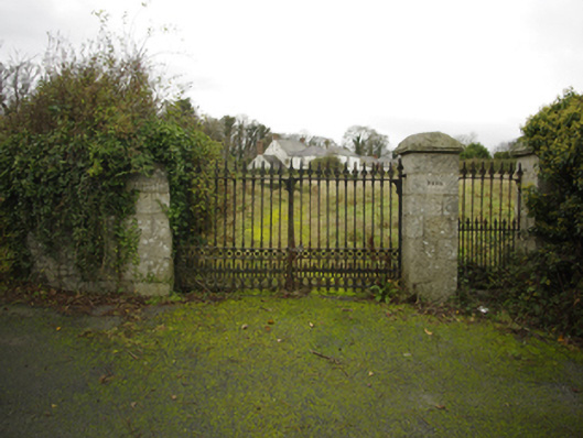 Lehaunstown Parkfarm house · 439 yd
 Proclamation of the Irish RepublicMemorial · 1.0 mi
 Loughlinstown WoodsNature reserve · 1.0 mi
 Bawn in Carrickmines GreatBawn · 1.0 mi
 Cabinteely Park OrchardVisitor information · 1.0 mi
 Cabinteely ParkVisitor information · 1.0 mi
 Puck's CastleCastle · 1.1 mi
 Rathmichael WalkWalking route · 1.2 mi
 Michael DavittMemorial · 1.2 mi
Other information
Photo: Credit not shown in the picture search · Rights wording not checked; contact us if this picture should be removed