
What is recorded here
On rising ground to the E of Drimneen River. This ecclesiastical enclosure, roughly D-shaped in plan, came to light in March 2008 during the course of a detailed survey of ‘Killeroon Chruch’ (GA054-041----) and graveyard (GA054-041001-) prior to the realignment of a section of the N59, which runs NNW-SSE immediately to the W of the church (Blakeman 2008). The church and graveyard occupy the NE area of the enclosure, which is defined from ENE to SW by what appears to be a grassed-over wall. The wall is best preserved from ESE to SW (Wth 2m; H 1m), where near-vertical faces were observed. From ENE to ESE it was wider, lower and in a more poorly preserved state (Wth 3m; H 0.5-0.7m). It appeared to be faced with large angular limestone blocks with a rubble core (ibid., 7). A bullaun stone (GA054-041003-) lies in the field to the S of the enclosure.
Compiled by: Olive Alcock
Date of upload: 6 July 2023
Blakeman, B. 2008 Topographic survey of a church site and enclosure (GA 054:041) adjacent to the existing N59 at Laghtgannon townland, Co Galway. Eachtra Archaeological Projects. Unpublished report for Galway County Council.
The monument record does not grant public access. Check the route and ask the landowner before entering private land.
- What survives
- Recorded monument
Places near here
 Aughnanure Castle (in ruins)Castle, tower house · 1204 yd
 Enclosure in Porridgetown WestEnclosure · 1719 yd
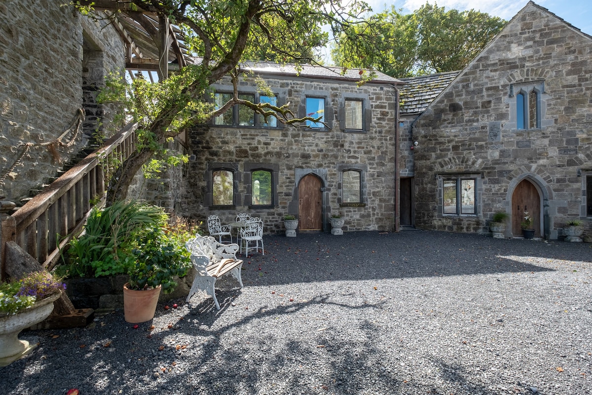 Enclosure in An FhaicheEnclosure · 1.0 mi
 AltarPenitential station · 1.4 mi
 Church in ruinsChurch · 1.4 mi
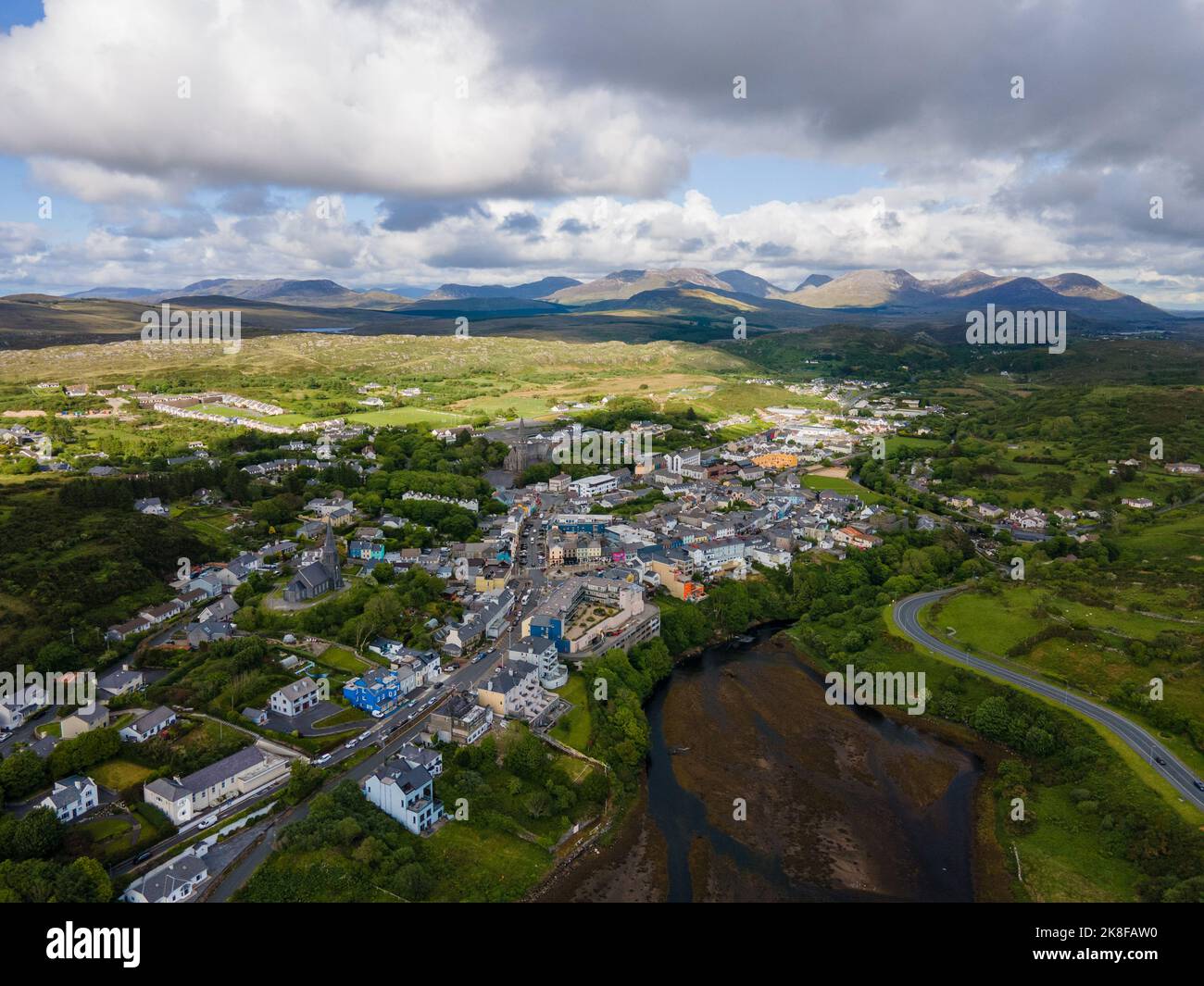 SnahadaunIslet · 2.0 mi
 Owenriff WayWalking route · 2.2 mi
 CastleCastle, unclassified · 2.2 mi
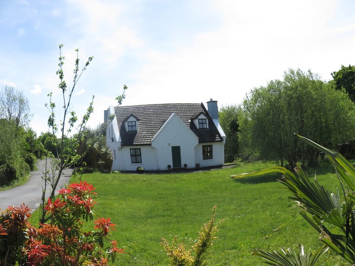 IllauncarbryIslet · 2.3 mi
 Annagh WoodWood · 3.0 mi
 Brigit's GardenHeritage attraction · 3.3 mi
 Glengowla Mines MuseumMuseum · 3.9 mi
Other information
Photo: Credit not shown in the picture search · Rights wording not checked; contact us if this picture should be removed