What is recorded here
Orange clay and gravel from a vanished boundary still hold broken antler and bone, proving the garden served as a workshop before it became an orchard. The flat-bottomed fosse cut through natural gravel, then received its own stripping as a levelled bank, placing the inner enclosure of Cill Chainnigh among the oldest shaped landscapes around Kilkenny. Cars and grass now cover most of it, yet the curving line of Church Lane preserves the ghost of that hidden circle.
Section of the inner ecclesiastical enclosure fosse and bank of the early medieval church settlement of Cill Chainnigh uncovered in test-excavations (06E0306) by Cóilín Ó Drisceoil in a former walled garden known as the 'Deanery Orchard', now a park and carpark, 40m SE of St Canice's Cathedral (KK019-026029-) (Gittins 2004, 272-3; Ó Drisceoil 2006, unpublished; 2009, 273-5). The Deanery Orchard is depicted as a large open area on John Rocque’s 1758 map of Kilkenny, which in the 19th century was divided into three enclosures by stone walls. Before it was the orchard for the Deanery (KK019-026033-) on the opposite (W) side of Coach Road (built 1690), it formed part of the plot of the manse house (KK019-026106-) for the Precentor of the cathedral chapter in the Cathedral Close. In the early medieval period it occupied the S side of the precinct of the ecclesiastical settlement of Cill Chainnigh; the round tower (KK019-026175-) is the only remaining upstanding building from this period of the site's history but a Man-made underground passage (KK019-026227-), a cess-pit (KK019-026230-) and pits (KK019-026232-) containing 10th-12th century bone and antler working waste have also been found on the Deanery Orchard site (Ó Drisceoil 2018, 118). Human burials that underlay the round tower (KK019-026175-) have been radiocarbon dated to the 10th, and 11th/mid-12th centuries and burials (KK019-026234-) to the E of the 13th century chancel of the cathedral on Church Lane have been dated by radiocarbon to the mid-7th – mid-10th century AD (ibid.; Ó Drisceoil and Cahill 2013, unpublished).
A section through the flat-bottomed fosse (Wth 6m; D 0.9m) and levelled clay bank of the ecclesiastical enclosure was partially excavated, revealing it to have been dug into the natural gravel. It was backfilled with the levelled bank material, a distinctive orange clay and gravel, from which bone and antler working waste was recovered. Radiocarbon dating (690-890 AD) of a cess pit (KK019-026230-) constructed into the fosse backfills indicates the enclosure was backfilled before the 9th century. The fosse was sealed beneath a 16th/17th-century yard surface associated with the Precentor's manse. The fosse could be traced intermittently for c. 37m within the Deanery Orchard and the curving pattern of Church Lane probably reflects its continuation to the N (Ó Drisceoil 2018, 118). These excavated sections would appear to relate solely to the innermost enclosure (diam. c. 110m; area of 0.95 hectares) of the ecclesiastical settlement. It has been suggested that the modern curving street pattern of Thomas street, upper Dean street, Vicar Street and the former Drysdal's Lane reflect the outer ecclesiastical enclosure (diam. c. 270m x 185m; area of 5.3 hectares) but there is, as yet, no archaeological evidence to support this hypothesis (Bradley 2000, 1). What may be part of a fosse, dated to 990-1150 AD, that subdivided the outer ecclesiastical enclosure was excavated (11E0157) near the Bishop's Palace (KK019-026123-) (Ó Drisceoil 2013). The feature was preserved in situ.
Within the grounds of the 14th-century bishop’s palace (KK019-026123-) and 22m N of the N transept of St Canice's Cathedral (KK019-026029-). Section of an early medieval U-shaped fosse (L 5m; Wth c. 4m; D 1.28m), orientated NW-SE, was uncovered in excavations (11E0157) by Cóilín Ó Drisceoil (Ó Drisceoil 2011, www.excavations.ie; 2012, www.excavations.ie; 2013, 2018). It is possibly part of the outer enclosing element of the church settlement of Cill Chainnigh. A fragment of animal bone from the backfill of the fosse was dated by radiocarbon to AD 980-1155 and the feature had been dug into by a pit (KK019-026236-) containing waste, dated to AD 990-1155, from a bone and antler working workshop. The fosse is interpreted as a sub-division of the outer ring, the sanctior, of the ecclesiastical settlement of Cill Chainnigh. The feature was preserved in situ.
See attached photographs.
Compiled by: Cóilín Ó Drisceoil
Date of upload: 11 November 2020
The monument record does not grant public access. Check the route and ask the landowner before entering private land.
- What survives
- Recorded monument
Places near here
 Saint Canice's Cathedralgates/railings/walls · 20 yd
 Market Yard GatesMemorial · 23 yd
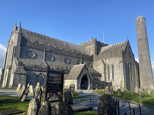 St. Canice's CathedralVisitor information · 29 yd
 Saint Canice's Cathedral Round TowerViewpoint · 44 yd
 Round TowerRound tower · 45 yd
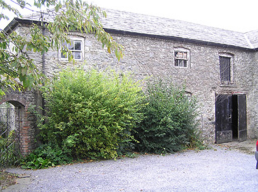 The Deaneryoutbuilding · 52 yd
 Font in Gardens (kilkenny City By., St. Canice Par.)Font · 62 yd
 Joseph KytelerMemorial · 73 yd
 Black AbbeyVisitor information · 268 yd
 Black PoplarBlack Poplar · 292 yd
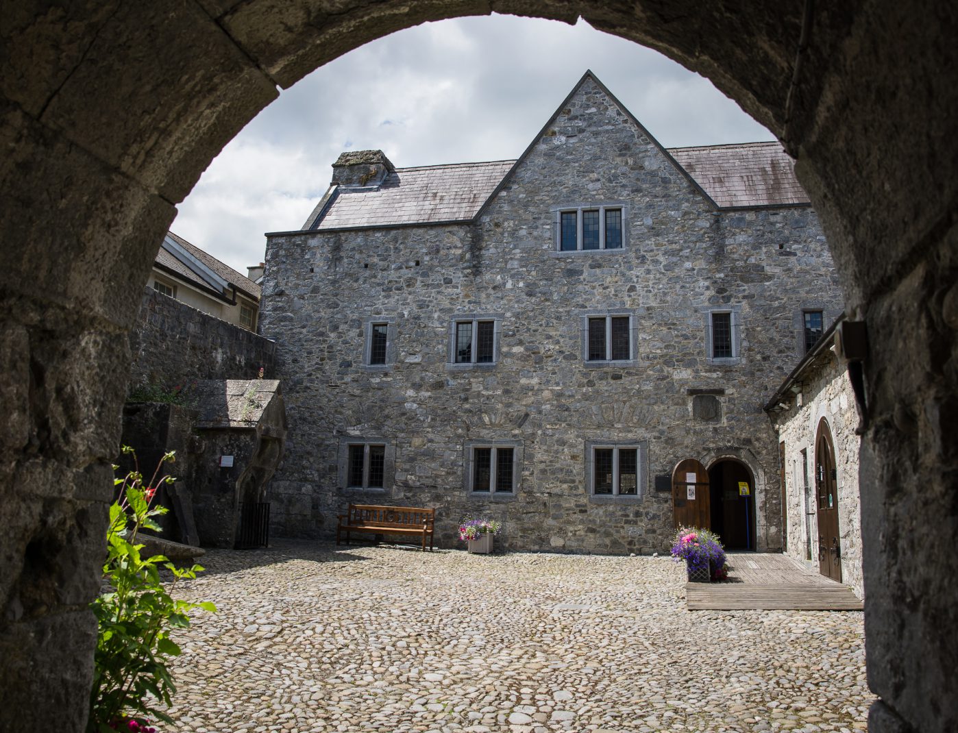 Rothe House & GardenMuseum · 297 yd
 Grace's Old CastleCastle · 355 yd