
What is recorded here
Calluragh Burial Ground (KE089-049003-): This terraced site of D-shaped plan is situated on the steep SE facing slope of Knag, and overlooks Lough Currane to S. Measuring 34.7m N-S 42.6 E-W externally, its enclosing element is poorly preserved. It is defined by modern field boundaries at NW, N and E, and traces of a low curving bank, 1.2m high externally, may represent the original enclosure at SE and S. A short stretch of external drystone facing is present at W, at the N end of which are two low uprights, .8m apart. These may mark the original entrance. Running E-W from the entrance is an artificial scarp which averages 1.2m high and divides the interior of the site into an upper and lower terrace.
The above description is derived from A. O'Sullivan and J. Sheehan (compilers), 'The Iveragh peninsula: an archaeological survey of South Kerry'. Cork University Press (1996), no. 933. In certain instances the entries have been revised and updated in the light of recent research.
Date of upload: 30 July 2013
The monument record does not grant public access. Check the route and ask the landowner before entering private land.
- What survives
- Recorded monument
Places near here
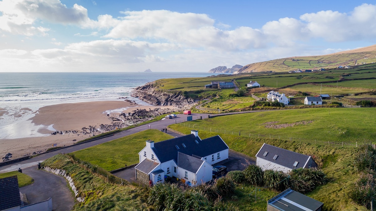 St Finans WellHoly well · 351 yd
 Barnagh FortFairy fort / stone ringfort · 556 yd
 Dromod Church (in Ruins)Church · 1484 yd
 St Finans CellHouse, early medieval · 1.3 mi
 CoomduffMountain / peak · 1.4 mi
 An PlaoscHeadland · 2.6 mi
 Butler MemorialMemorial · 2.6 mi
 T. C. Millerick MemorialMemorial · 2.7 mi
 CastleCastle, tower house · 2.7 mi
 Waterville PromenadeWalking route · 2.7 mi
 GlanbegMountain / peak · 2.8 mi
 Inny StrandBeach / strand · 3.2 mi
Other information
Photo: Credit not shown in the picture search · Rights wording not checked; contact us if this picture should be removed