What is recorded here
Associated with a field system (GA042-001005-). Amongst the earthworks noted during aerial reconnaissance in January 1985 (ASGAP 211:37, 42) was a strongly curving fosse-like feature to N of the possible church (GA042-001002-). Though evidently much defaced and apparently overlain by the field system, it appears to comprise a shallow fosse with intermittent traces of a stony bank along its inner, or S, edge. Roughly centred on the church, it is visible from WNW through N to NE (D c. 140m). This is probably the same feature as the 'large arc of [a] ... cashel type wall' recorded by Higgins and McHugh (1990, 66-8) to NE of the church. They describe it as 'the remains of a substantial stone wall ... maximum height 0.33-0.40 metres' with traces of an external 'wall facing'.
The above description is derived from the published 'Archaeological Inventory of County Galway Vol. II - North Galway'. Compiled by Olive Alcock, Kathy de hÓra and Paul Gosling (Dublin: Stationery Office, 1999).
Date of upload: 05 August 2010
The monument record does not grant public access. Check the route and ask the landowner before entering private land.
- What survives
- Recorded monument
Places near here
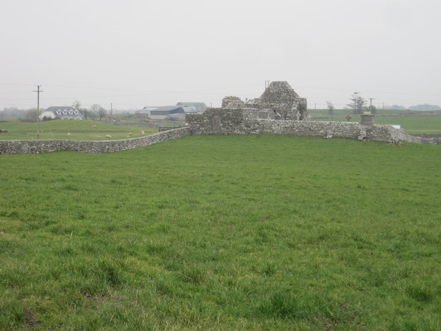 Grave YardGraveyard · 1 yd
 Field system in AbbeytownField system · 78 yd
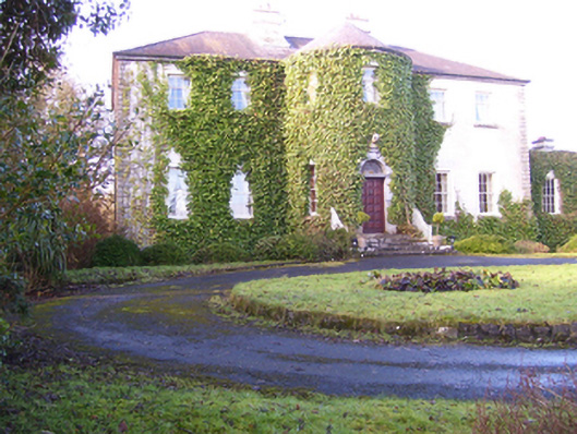 Lisdonagh Househouse · 1201 yd
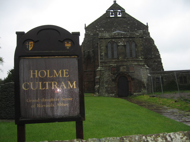 AbbeytownHouse, 18th/19th century · 1308 yd
 Shrule Castle in ruinsCastle, hall-house · 1.9 mi
 Shrule CastleCastle · 1.9 mi
 Pesooge PlantationForest · 2.5 mi
 Cregg PlantationForest · 2.7 mi
 Ross Errilly FriaryHeritage attraction · 3.6 mi
 Kilcoona Round TowerHeritage attraction · 4.1 mi
 Mass RockNamed rock · 5.1 mi
 Walsh's IslandIslet · 6.2 mi