What is recorded here
Easthaven SSSI is shown as a nature reserve on the public map of Angus. The saved point is the map point or the centre of its mapped shape.
This does not grant access. Check current paths, opening conditions and ownership before entering.
Places near here
 CraigmillRig and Furrow (medieval) - (post Medieval) · 385 yd
 EasthavenFinger Ring (medieval), Finger Ring (gilt)(post Medieval), Personal Accessory(s) (period Unassigned), Spindle Whorl (lead)(medieval), Strap Fitting (12th Century) · 412 yd
 Panbride HouseCountry House (19th Century) · 1090 yd
 CarnoustieGun Emplacement (20th Century) · 1216 yd
 Westhaven BeachBeach / strand · 1614 yd
 Carnoustie BeachBeach / strand · 1.5 mi
 Battle of Barrybattle · 1.6 mi
 Carnoustie War MemorialMemorial · 1.8 mi
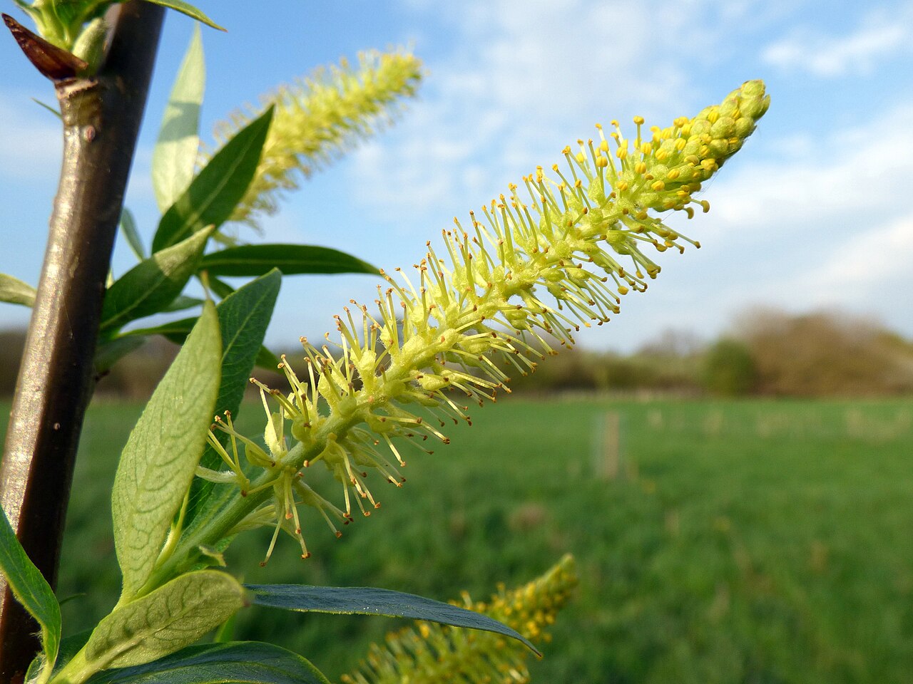 Dibble TreeCricket-bat willow · 1.8 mi
 The Dibble TreeVisitor information · 1.8 mi
 Panmure CastleCastle (medieval), Chapel (medieval), Garden (post Medieval)(possible), Moat (medieval), Mound(s) (period Unknown) · 3.0 mi
 Pitcundrum WoodWood · 3.0 mi