What is recorded here
Slievenagh holds an earthwork that may be a rath, though uncertainty still wraps its purpose. The distinction between a common boundary and a fortified home changes what the land remembered. A person may have stood beside that same ridge, watching rain stripe the grass and wondering whether the ground was making a shape or preserving one.
The official Northern Ireland record identifies this as EARTHWORK; possibly RATH. Recorded period: E.CHRIST.; UNCERTAIN. The official map point was placed at the centre of the recorded archaeological site from the source map reference.
The monument record does not grant public access. Check the route and ask the landowner before entering private land.
- What survives
- Recorded monument
Places near here
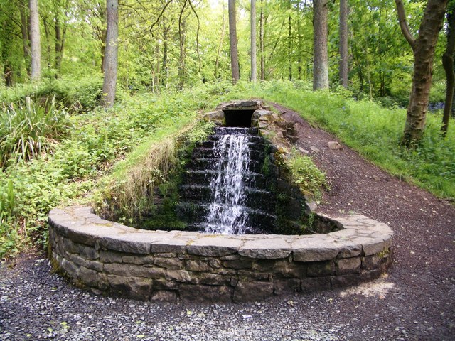 Portglenone ForestForest · 348 yd
 Top WoodWood · 659 yd
 Masonic HallHall · 1059 yd
 ENCLOSURE (unlocated) in AughnahoyENCLOSURE (unlocated) · 1130 yd
 ENCLOSURE in GarvaghyENCLOSURE · 1300 yd
 First Presbyterian ChurchChurch · 1418 yd
 CASTLE (site of): PORTGLENONE CASTLE in GarvaghyCASTLE (site of): PORTGLENONE CASTLE · 1539 yd
 FORD across R. BANN & SITE OF BATTLE, 1689 (see also ANT 031:052 for opposite side of the river) in GlenoneFORD across R. BANN & SITE OF BATTLE, 1689 (see also ANT 031:052 for opposite side of the river) · 1.3 mi
 TullyMountain / peak · 1.4 mi
 Scroggy Mass RockNamed rock · 3.1 mi
 Seamus HeaneyMemorial · 3.9 mi
 PLANTATION CASTLE & BAWN on site of RATH: BELLAGHY BAWN in Old Town Deer ParkPLANTATION CASTLE & BAWN on site of RATH: BELLAGHY BAWN · 4.5 mi