What is recorded here
In pasture on former demesne lands of Rathenny House. Outline of roughly D-shaped earthwork (dims. c. 46m N-S) visible on Google Earth orthoimages.
See attached Google Earth orthophotos
Compiled by: Caimin O'Brien based on details provided by Jean-Charles Caillère
Date of upload: 29 October 2021
The monument record does not grant public access. Check the route and ask the landowner before entering private land.
- What survives
- Recorded monument
Places near here
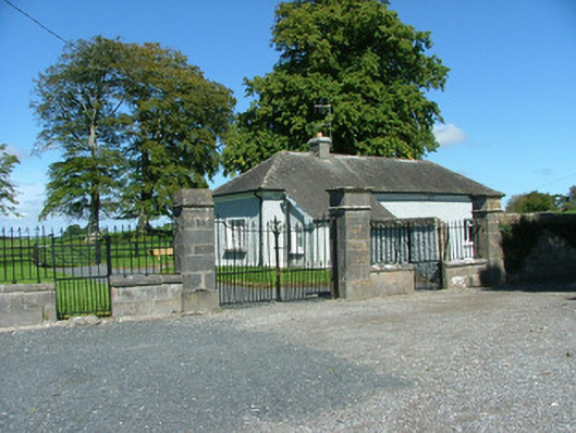 Rathenny Housegate lodge · 118 yd
 Enclosure in RathennyEnclosure · 281 yd
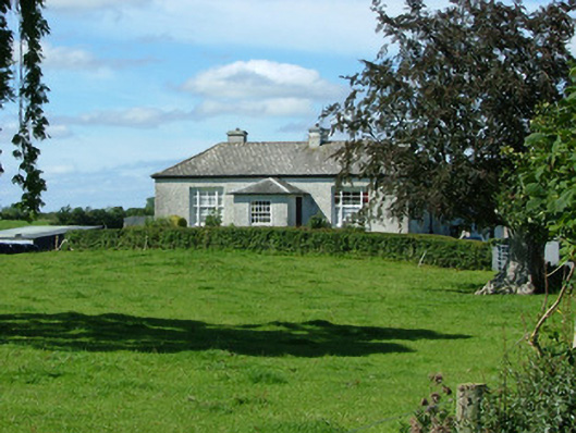 Rathenny Cottagefarm house · 305 yd
 Enclosure in RathEnclosure · 1073 yd
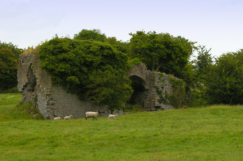 Bawn in CullenwaineBawn · 1.4 mi
 CastleCastle, tower house · 2.3 mi
 Kyleroe WoodWood · 2.5 mi
 Thomas MacDonagh Heritage CentreMuseum · 3.4 mi
 MacDonagh HouseMemorial · 3.4 mi
 Ballycapple WoodForest · 3.9 mi
 BenduffMountain / peak · 4.4 mi
 James Devaney MemorialMemorial · 5.1 mi