What is recorded here
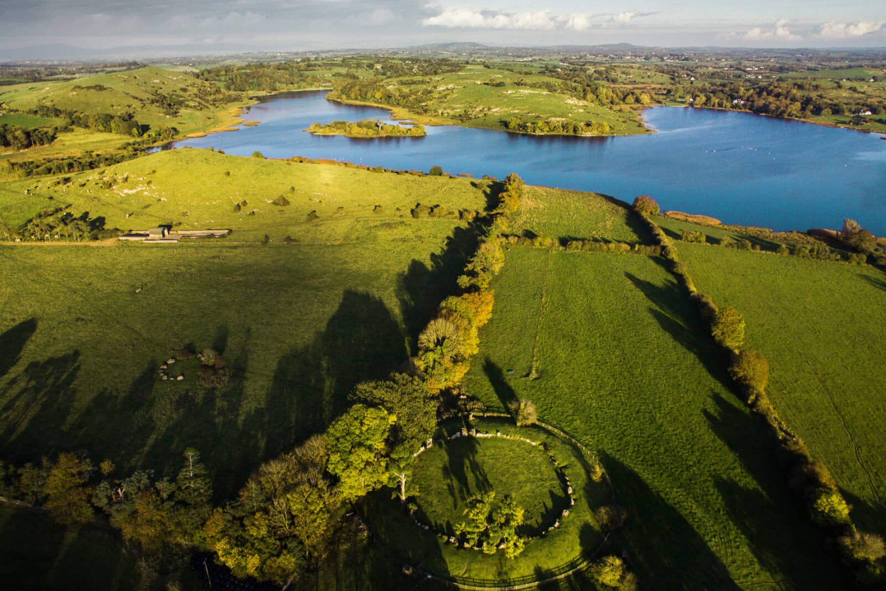
In area of rock-outcrop on the E shoreline of Lough Gur. Sunken-circular shaped area (diam. c. 25m) visible on Digital Globe orthoimage taken between 2011-13. Could be the remains of a quarry due its location in area of rock outcrop.
Compiled by: Caimin O'Brien based on details provided by Maureen O'Leary
Date of upload: 22 November 2022
The monument record does not grant public access. Check the route and ask the landowner before entering private land.
- What survives
- Recorded monument
Places near here
 Cist in LoughgurCist · 115 yd
 Lough Gur Neolithic settlementArchaeological place · 187 yd
 Garret IslandCastle, unclassified · 362 yd
 RoadRoad, road/trackway · 511 yd
 Black Castle (in ruins)Castle, tower house · 518 yd
 Pedunculate OakPedunculate Oak · 524 yd
 Loughgur Farmhouse · 582 yd
 Lough Gur Heritage CentreVisitor information · 798 yd
 The SpectaclesVisitor information · 824 yd
 Grange Stone CircleArchaeological place · 1160 yd
 Lough GurVisitor information · 1216 yd
 Glen BogForest · 2.0 mi