What is recorded here
In lowlying pasture, prone to seasonal flooding, to S and SW of a rath (MA119-001001-). The area is bordered at NNW by a natural limestone scarp, overlain now by a field boundary wall.
In 1984 several mounds and hollows were noted in the field to SW of the rath (SMR file). They included low, curving earthen banks and roughly circular depressions, but formed no clear pattern. Some of the low mounds and tussocks of vegetation in the S of the field appeared to be the result of periodic flooding, and some of the banks and mound further N in the field may also have been caused by flooding or were possibly remnants of efforts to stop flooding. A group of five large stones, with some smaller stones around them, was interpreted as being the result of field clearance.
All these features were removed in the late 1980’s/early 1990’s by reclamation works, and no trace of them was visible when the site was inspected in 2000.
Compiled by: Jane O’Shaughnessy
Date of upload: 30 May 2023
The monument record does not grant public access. Check the route and ask the landowner before entering private land.
- What survives
- Recorded monument
Places near here
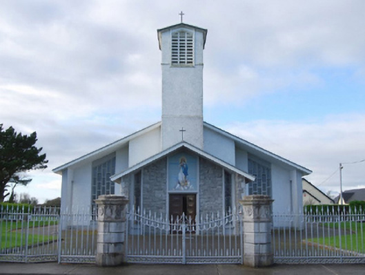 Catholic Church of the Immaculate Conceptiongates/railings/walls · 621 yd
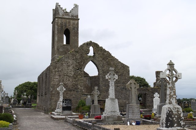 Church ruinChurch · 686 yd
 IndicatedFairy fort / earthen ringfort · 1250 yd
 Enclosure in Boleymeelagh,cregduff (kilmaine By., Kilcommon Par.)Enclosure · 1315 yd
 Bunacrower CastleCastle · 1.8 mi
 Castle (ruin)Castle, unclassified · 2.6 mi
 SycamoreSycamore · 2.8 mi
 European YewEuropean Yew · 4.6 mi
 Creevagh IslandIslet · 6.8 mi
 Gibbs IslandsIslet · 9.7 mi
 Mass RockNamed rock · 10 mi
 School of FalconryHeritage attraction · 11 mi