What is recorded here
Possibly associated with a large enclosure (GA100-106001-). Aerial reconnaissance in August 1984 (ASGAP 172:27) revealed a series of earthen banks extending off the enclosure at N (L 15m; Wth 2.5m; H 0.2m), SSE (L 86m) and S.
Compiled by: Galway Archaeological Survey, UCG
Date of upload: 27 August 2019
The monument record does not grant public access. Check the route and ask the landowner before entering private land.
- What survives
- Recorded monument
Places near here
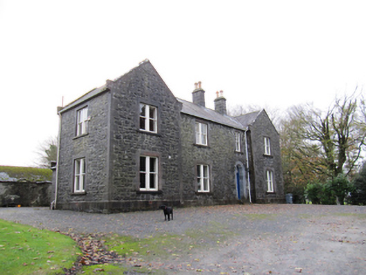 Redmount Hill Housefarm house · 855 yd
 IndicatedHouse, 18th/19th century · 878 yd
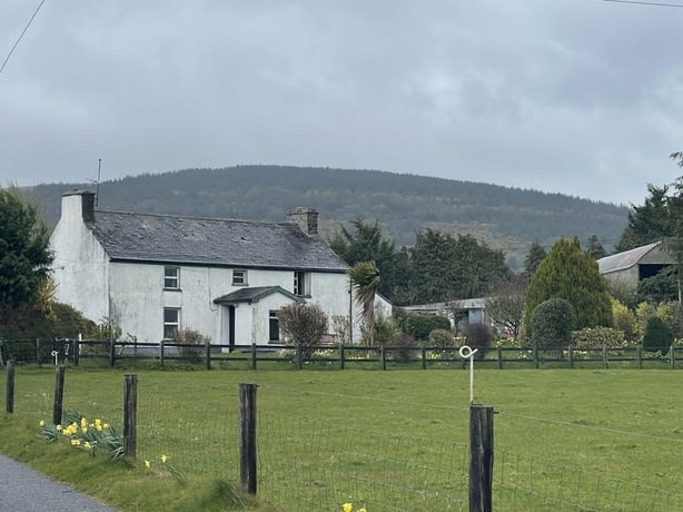 dermot and grainnes bedMonument · 1009 yd
 Redmond HillMountain / peak · 1189 yd
 EnclosureArchaeological place · 1728 yd
 Silver FirSilver Fir · 1.6 mi
 Ballymore CastleCastle, tower house · 1.6 mi
 European ashEuropean ash · 1.8 mi
 Oghil Castle (in ruins)Castle, tower house · 2.1 mi
 Clonfert CathedralHeritage attraction · 3.5 mi
 Sugarloaf HillMountain / peak · 4.1 mi
 MeelickVisitor information · 4.7 mi