What is recorded here
Killalongford holds a forgotten circular earthwork, likely a ringfort, now reduced to a slight curving bank and a field boundary bending around its ghost. The 1839 map still showed trees inside the circle, but centuries of ploughing and foot traffic have erased most of the structure. What remains is enough to suggest people once drew a line around their lives, built a wall, and disappeared into the ordinary field.
The following description is derived from the published 'Archaeological Inventory of County Carlow' (Dublin: Stationery Office, 1993). In certain instances the entries have been revised and updated in the light of recent research.
Date of upload/revision: 17 July 2007
Shown on 1839 'OS 6-inch' map as circular enclosed area with trees (max. diam. c. 40m). Curve in field boundary probably reflects NE portion of former monument. Slight evidence of possible curving bank visible at S. Possibly ringfort site.
The monument record does not grant public access. Check the route and ask the landowner before entering private land.
- What survives
- Recorded monument
Places near here
 IndicatedFairy fort / stone ringfort · 540 yd
 Clonmore Catholic Churchchurch/chapel · 1128 yd
 Kilcroan Church (Site of), GraveyardChurch · 1580 yd
 Clonmore MoatCastle, motte and bailey · 1.0 mi
 Saint John's Church (Clonmore)church/chapel · 1.1 mi
 Clonmore Castle (in Ruins)Castle, Anglo-Norman masonry castle · 1.2 mi
 Church (in ruins), GraveyardChurch · 2.3 mi
 Ballynultagh HillMountain / peak · 2.7 mi
 Eagle HillMountain / peak · 2.9 mi
 Sweet ChestnutSweet Chestnut · 3.8 mi
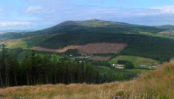 Mangan's WoodForest · 4.1 mi
 Acaun Church (in ruins), GraveyardChurch · 4.9 mi