What is recorded here
In pasture, on a NW facing slope. A roughly circular area (14.8m NE-SW; 11.7m NW-SE) defined by a scarped edge which is best preserved down slope W-NE (H 4.65m). The rise of the mound is less obvious (H 0.1m) but traceable upslope NE-SSE. There are slight traces of a possible fosse (Wth 3.5m; D 0.2m) at SE. The remains of an old trackway depicted on the 2nd ed. (1897-8) OS 6-inch map to the NE of the mound are visible as a low sunken feature. A field drain separates the mound from a field boundary along the SW arc.
Compiled by: Matt Kelleher
Date of upload: 28 February 2014
The monument record does not grant public access. Check the route and ask the landowner before entering private land.
- What survives
- Recorded monument
Places near here
 Church in Kilfeighny NorthChurch · 1.1 mi
 Enclosure in GlanballymaEnclosure · 1.6 mi
 Enclosure in BallincraheenEnclosure · 2.1 mi
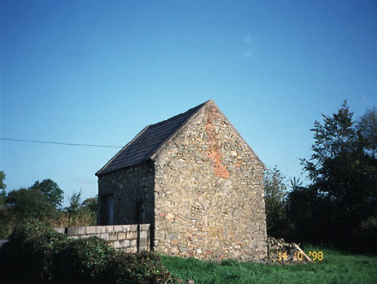 Crotta Housegate lodge · 2.2 mi
 Kilflynn Nature ReserveNature reserve · 2.8 mi
 Stack's MountainMountain / peak · 3.4 mi
 CastleCastle, Anglo-Norman masonry castle · 3.5 mi
 CruslineMountain / peak · 4.4 mi
 Listowel Castle (in ruins)Castle, tower house · 6.3 mi
 Kerry Writers' MuseumMuseum · 6.3 mi
 Bryan MacMahonMemorial · 6.3 mi
 Lartigue MonorailMuseum · 6.5 mi