What is recorded here
At the bottom of a S-facing slope overlooking a small pond immediately to the NW. Hachured on the 1840 and 1920 OS 6-inch maps and on the 25-inch plan as a D-shaped enclosure. Listed as ‘Enclosure’ in the SMR (1992) and the RMP (1996). On inspection in 1999 there were no visible remains at ground level. Not visible on available aerial imagery (2024).
Compiled by: Mary Tunney
Date of upload: 19 November 2025
The monument record does not grant public access. Check the route and ask the landowner before entering private land.
- What survives
- Recorded monument
Places near here
 RathcahaunFairy fort / earthen ringfort · 392 yd
 Enclosure in RathcahaunEnclosure · 767 yd
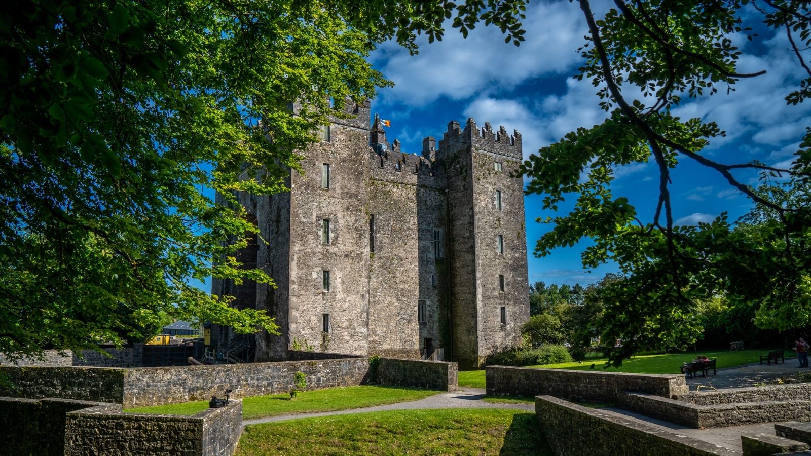 CastleCastle, unclassified · 1186 yd
 Kilkee Castle (Site of)Castle, unclassified · 1436 yd
 Battle of TullyodeaBattlefield · 1.1 mi
 Saint Mary's Catholic Churchchurch/chapel · 1.6 mi
 Church (in ruins)Church · 1.6 mi
 Ballygriffy WoodWood · 1.6 mi
 Dromore WoodWood · 2.6 mi
 Rock IslandIsland · 3.0 mi
 Inchiquin IslandIslet · 3.1 mi
 Fergus River CaveCave · 5.1 mi