What is recorded here
Inis Meáin is a small island off Ceathrú An Teampaill where a square earth platform still rises above the grass. The south and west edges keep a shallow scar while the rest has surrendered to rain and time. A fort may have stood there, but the sea and centuries erased most of its claim. What remains is a flat shadow of anger, waiting for someone to remember why it was built.
Close to shoreline at N end of Inis Meáin. Poorly preserved quadrangular-shaped platform (NW-SE 22.5m, NE-SW 17.5m) defined by a scarp on S and W with traces of a possible fosse at SW. No visible trace of the enclosing element survives elsewhere. Mac Domhnaill (Topgr. Files, NMI) describes it as 'probable site of ancient fort'.
The above description is derived from the published 'Archaeological Inventory of County Galway Vol. I - West Galway'. Compiled by Paul Gosling (Dublin: Stationery Office, 1993).
Date of upload: 05 August 2010
This remains an important historical record, but the official description says the monument is no longer visible or has been destroyed. The monument record does not grant public access. Check the route and ask the landowner before entering private land.
- What survives
- No visible remains or recorded as destroyed
Places near here
 Structure in Ceathrú An LisínStructure · 1114 yd
 BallylinaghaunHouse, indeterminate date · 1187 yd
 Enclosure in Ceathrú An TeampaillEnclosure · 1313 yd
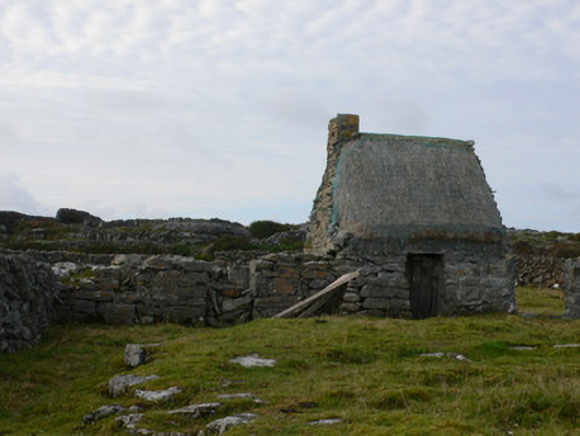 outbuildingoutbuilding · 1370 yd
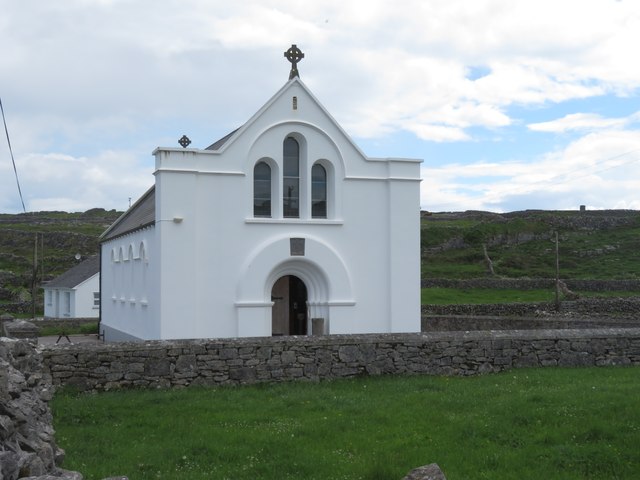 Inis MeáinIsland · 1.4 mi
 Dún ChonchúirHeritage attraction · 1.5 mi
 Oileán na TuíIslet · 2.6 mi
 Martin's TowerHeritage attraction · 2.8 mi
 Lár na TráBeach / strand · 3.3 mi
 Port na CilleBeach / strand · 3.5 mi
 Caisleán Uí BhriainCastle · 3.5 mi
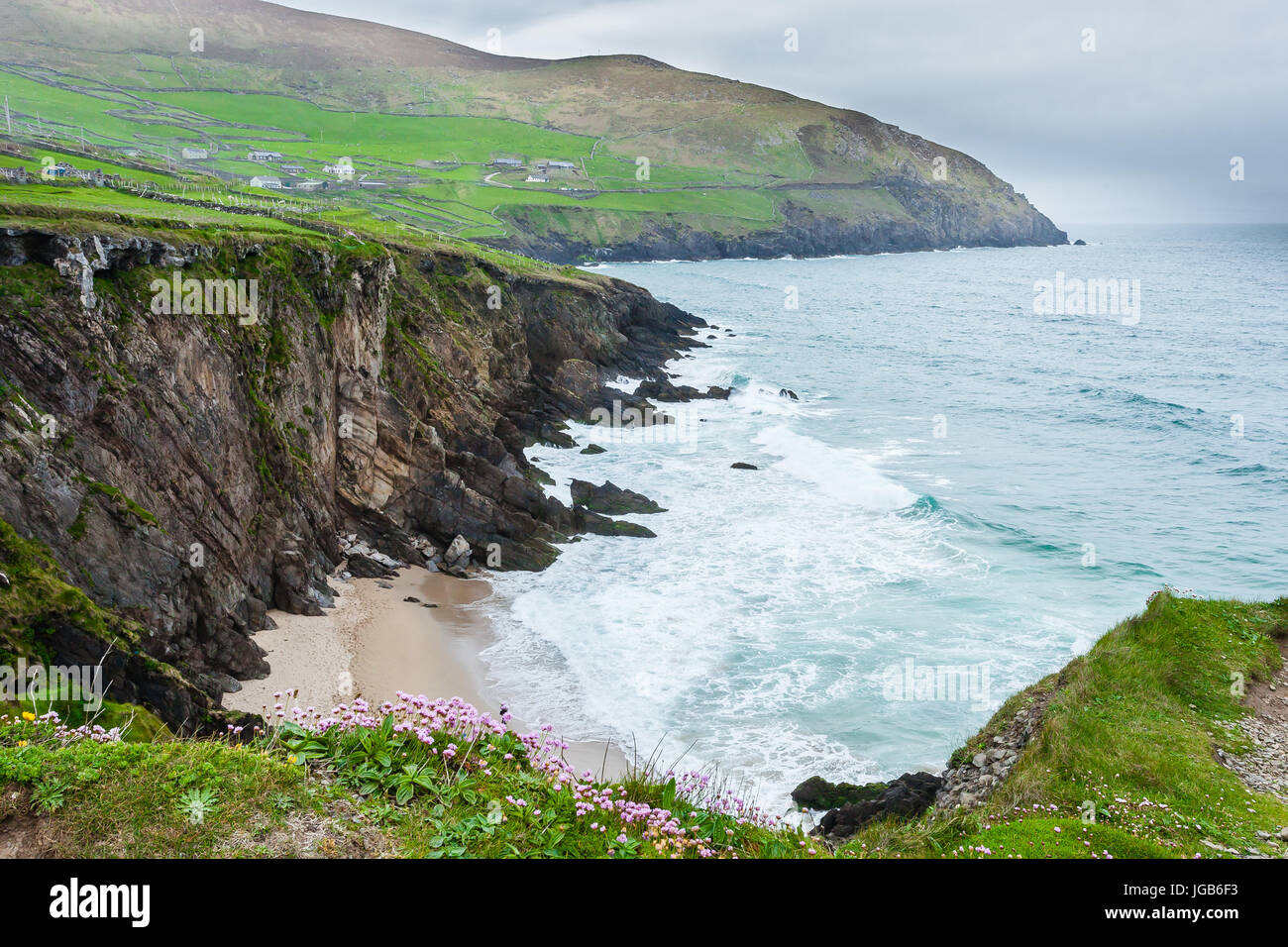 Ceann na FaochanaHeadland · 3.7 mi