What is recorded here
Located in pasture, on the SW end of a small ridge/knoll.
Not shown on any edition of the OS 6-inch mapping. Listed in the SMR (1991) and the RMP (1997) as an earthwork on the basis of poorly defined subcircular feature visible in an aerial photograph (GSI M691-0; Roll 231, pr. 8).
A roughly N–S field fence traverses the hill. To the E of the fence, there is a disused sand-pit dug into the hill slope. The features visible in the aerial photograph appear to represent the natural contours of a knoll and the small sand pit quarried out of the NE slope. There is no convincing evidence on the ground of an archaeological monument at this location
Compiled by: Jane O’Shaughnessy
Date of upload: 24 September 2021
The monument record does not grant public access. Check the route and ask the landowner before entering private land.
- What survives
- Recorded monument
Places near here
 TemplerowuckChurch · 882 yd
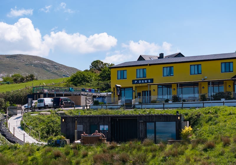 IndicatedEnclosure · 991 yd
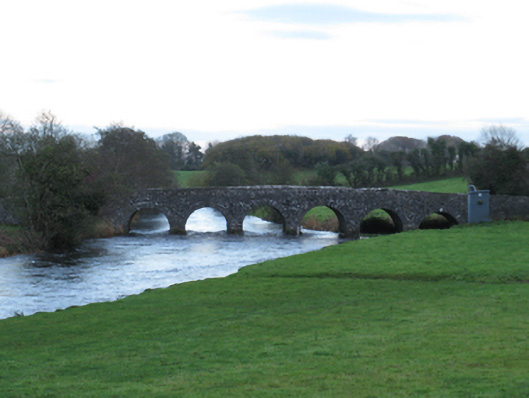 Scarrownageeragh Bridgebridge · 1339 yd
 Enclosure in AghawardEnclosure · 1418 yd
 Shonagawna Castle in RuinsCastle, unclassified · 1612 yd
 Ballylahan Castle in RuinsCastle, Anglo-Norman masonry castle · 1.2 mi
 Michael DavittMemorial · 2.1 mi
 Admiral William BrownMemorial · 4.1 mi
 Foxford Woollen MillsHeritage attraction · 4.2 mi
 Thorn CaveCave · 4.5 mi
 Hennigan's Heritage CentreHeritage attraction · 5.0 mi
 HawthornHawthorn · 5.3 mi