What is recorded here
In reclaimed pasture 200m SE of the townland boundary with Ballinanima. Mound (LI048-053----) lies 185m to SW. Not depicted on the OSi historic 6-inch maps. Identified by ASI from examination of Microsoft Bing aerial photographs. Cropmark visible as a roughly circular-shaped area (diam. c. 25m) defined by a fosse from NE-S-W on Digital Globe orthoimage taken between 2011-13 and on Google Earth orthoimages where it is truncated at N by field boundary running NE-SW.
See attached Google Earth orthoimages.
Compiled by: Martin Fitzpatrick
Date of upload: 6 September 2021
The monument record does not grant public access. Check the route and ask the landowner before entering private land.
- What survives
- Recorded monument
Places near here
 Rathaboira, hachuredMound · 246 yd
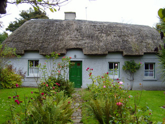 Martin's Cottagehouse · 642 yd
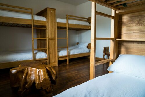 Quarry in KilfinnaneQuarry · 868 yd
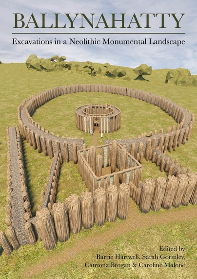 Earthwork in Ballinanima (darcy)Earthwork · 885 yd
 Ballyhoura tourist informationVisitor information · 1142 yd
 Castle (in ruins)Castle, tower house · 1231 yd
 Treada Na Ríogh (The Moat), hachuredCastle, motte · 1397 yd
 Palatine's RockNamed rock · 1.8 mi
 Ballyhoura WayWalking route · 2.0 mi
 Gooseberry HillMountain / peak · 2.4 mi
 Keale MountainMountain / peak · 2.5 mi
 Ballinvreena LoopVisitor information · 2.8 mi