What is recorded here
In reclaimed pasture 25m W of the townland boundary with Knockderk. Possible barrow (LI033-169----) lies 60m to W. Not depicted on OSi historic 6-inch maps. Surveyed by the ASI in 2007 and described as a raised rectangular-shaped area (dims. 15.3m NW-SE, 6.5m NE-SW) enclosed by a steep bank (Wth. 13.7m; Int. H 1.05m; ext. H 2m) at NW reduced to a steep scarp elsewhere. Visible as raised rectangular-shaped area on OSi orthophotos taken 2005-12 and on Google Earth orthoimages dated 18/11/2018. A narrow local road to the immediate E runs NE-SW giving access to a limekiln and quarry annotated Carrigeenanoosh on OSi historic maps. Doubtful antiquity.
See attached Google Earth orthoimages.
Compiled by: Martin Fitzpatrick
Date of upload: 21 April 2021
The monument record does not grant public access. Check the route and ask the landowner before entering private land.
- What survives
- Recorded monument
Places near here
 BarrowBarrow, ditch barrow · 299 yd
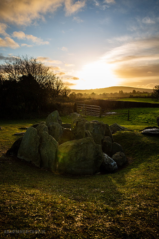 Enclosure in Knockroe (coonagh By.)Enclosure · 987 yd
 Templebredon Church (in ruins)Church · 1563 yd
 Carrickittle RockCastle, unclassified · 1576 yd
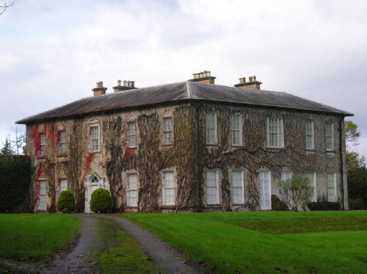 Derkcountry house · 1.1 mi
 Site of Ballyneety CastleCastle, unclassified · 1.6 mi
 St. Patrick's WellSpring · 1.8 mi
 Kilteely HillMountain / peak · 1.8 mi
 KnockseefinMountain / peak · 2.8 mi
 Flat cemetery in Knockainy WestFlat cemetery · 5.3 mi
 St Patrick's WellSpring · 6.6 mi
 Ballinvreena LoopVisitor information · 9.6 mi