What is recorded here
Off-centre within a vanished oval enclosure, the earthwork in Ballydonnellan East still rises three metres above undulating pasture, its steep sides packed with stone and soil. The larger boundary has surrendered completely to grass and time, leaving only the mound and a shallow southern depression where disturbance or forgetting may have bitten. Whether it marked a burial, a boundary, or a promise is no longer certain. What remains is shape: a round top, an asymmetrical memory, and a landscape that once drew a line around it.
In undulating pastureland. Marked on 1st ed. of OS 6-inch map as a small circular mound lying off-centre within an oval enclosure (c. 40m by c. 30m). All that survives is a steep-sided round-topped circular mound of earth and stone (D 16.5m, H 3.2m max.). A small depression at S side may be the result of disturbance. No visible surface trace of the larger encircling enclosure survives. Possibly a tumulus, but its relationship to and the character of the encircling enclosure is unclear.
The above description is derived from the published 'Archaeological Inventory of County Galway Vol. II - North Galway'. Compiled by Olive Alcock, Kathy de hÓra and Paul Gosling (Dublin: Stationery Office, 1999).
Date of upload: 05 August 2010
The monument record does not grant public access. Check the route and ask the landowner before entering private land.
- What survives
- Recorded monument
Places near here
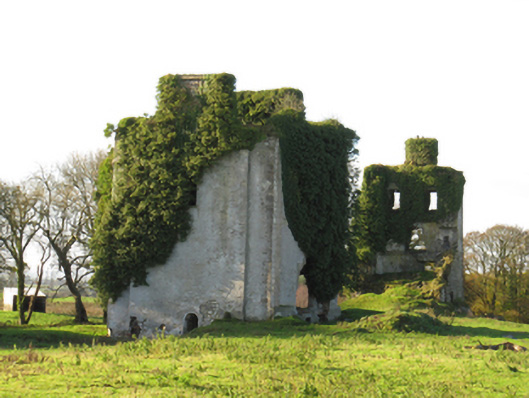 Ballydonnellan Castlecountry house · 254 yd
 Quarry in Ballydonnellan WestQuarry · 707 yd
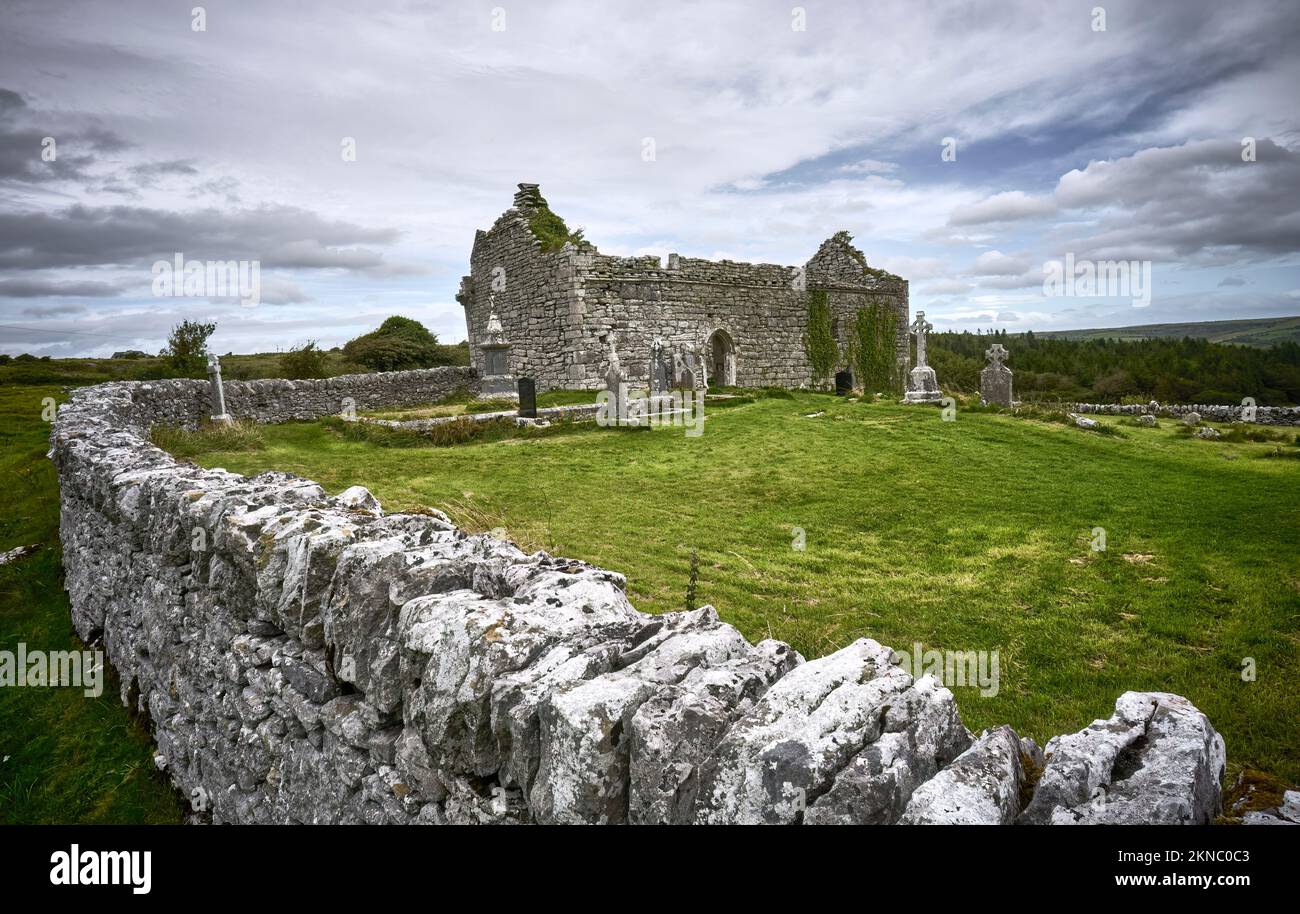 Mass-rock in Lissacullaun (kilconnell By.)Mass-rock · 978 yd
 Enclosure in CartronsheelaEnclosure · 1099 yd
 Dartfield Horse MuseumHeritage attraction · 3.3 mi
 Drought Castle (in Ruins)Castle, tower house · 3.5 mi
 Park CastleCastle, hall-house · 3.8 mi
 Battle of AughrimMajor battlefield · 5.2 mi
 Battle of Aughrim Interpretative CentreMuseum · 5.3 mi
 The bloody HollowHeritage attraction · 5.3 mi
 Oak WoodWood · 5.4 mi
 Urraghry HillMountain / peak · 6.4 mi