What is recorded here
Towards the top of and E-facing slope in pasture. Hachured as a subcircular enclosure on the 1840 OS 6-inch map with one line of hachures. On the 1920 edition it is partially hachured and shows a bank at N. Listed as ‘Earthwork’ in the SMR (1992) and the RMP (1996). On inspection in 1999 the area had been reclaimed and there were no visible remains at ground level. According to local information there was formerly an earthwork there and it was levelled c. 1980’s. Not visible on any available aerial imagery (2024).
Compiled by: Mary Tunney
Date of upload: 1 December 2025
The monument record does not grant public access. Check the route and ask the landowner before entering private land.
- What survives
- Recorded monument
Places near here
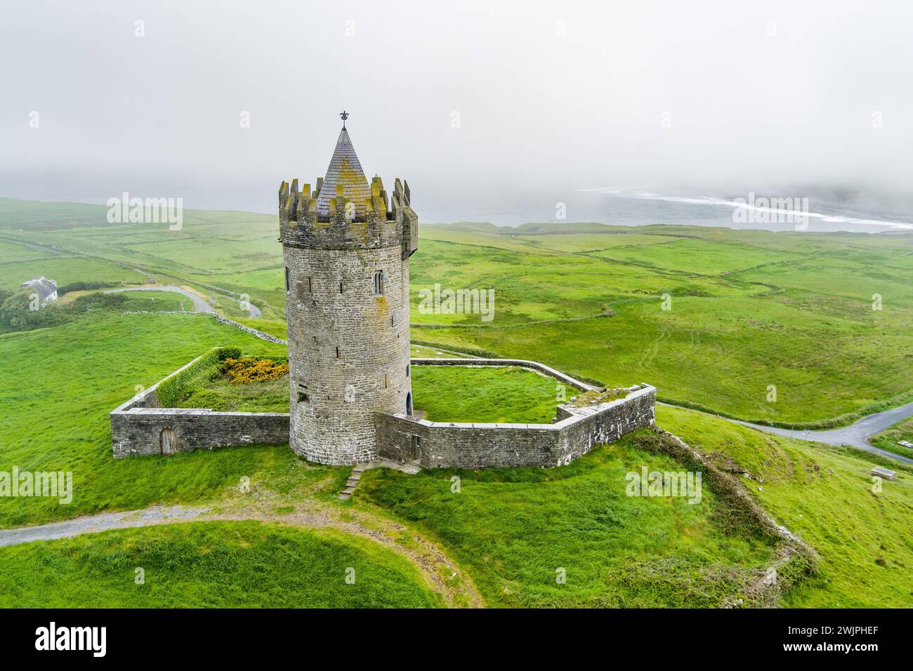 Enclosure in BallybrodyEnclosure · 240 yd
 Enclosure in DrummeerEnclosure · 485 yd
 Kilkee Castle (Site of)Castle, unclassified · 1697 yd
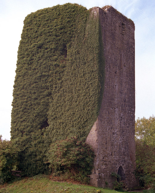 Ballygriffy CastleCastle · 1754 yd
 Kilcross Church (in Ruins)Church · 1.3 mi
 Ballygriffy WoodWood · 1.3 mi
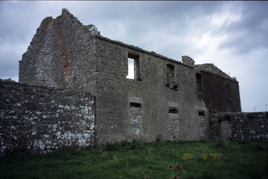 Mollaneen Housefarm house · 1.6 mi
 Ardcarney WoodWood · 1.9 mi
 Battle of TullyodeaBattlefield · 2.7 mi
 Ennis AbbeyMuseum · 4.2 mi
 Rock IslandIsland · 4.3 mi
 Clare MuseumMuseum · 4.3 mi