What is recorded here
Surrounding ‘Ballinderry Castle’ (GA043-004001-). The castle stood along the N edge of a rectangular platform (E-W 27m, N-S 25m) defined by a scarp, which may have marked the line of an associated bawn (GA043-004002-). Noted directly outside the scarp, along the E side, were two parallel banks and fosses running N-S. These are also evident for 40m to the NE of the platform, where they terminate in a circular earthwork (D 7.5m int.) defined by two low banks and an intervening fosse. Two parallel scarps are visible running off this earthwork from its W side, on a WSW-ENE axis, while two linear banks and an intervening fosse also extend off its NW side, following a NW-SE axis. While the circular earthwork is quite similar in form to a barrow, the earthworks as a whole could be interpreted as the outline of an outer bawn with a circular turret at its NE angle.
The above description is derived from the published 'Archaeological Inventory of County Galway Vol. II - North Galway'. Compiled by Olive Alcock, Kathy de hÓra and Paul Gosling (Dublin: Stationery Office, 1999).
Edited by: Olive Alcock
Date of revised upload: 11 November 2022
The monument record does not grant public access. Check the route and ask the landowner before entering private land.
- What survives
- Recorded monument
Places near here
 Ballinderry CastleCastle, tower house · 31 yd
 Ballinderry HouseBuilding · 353 yd
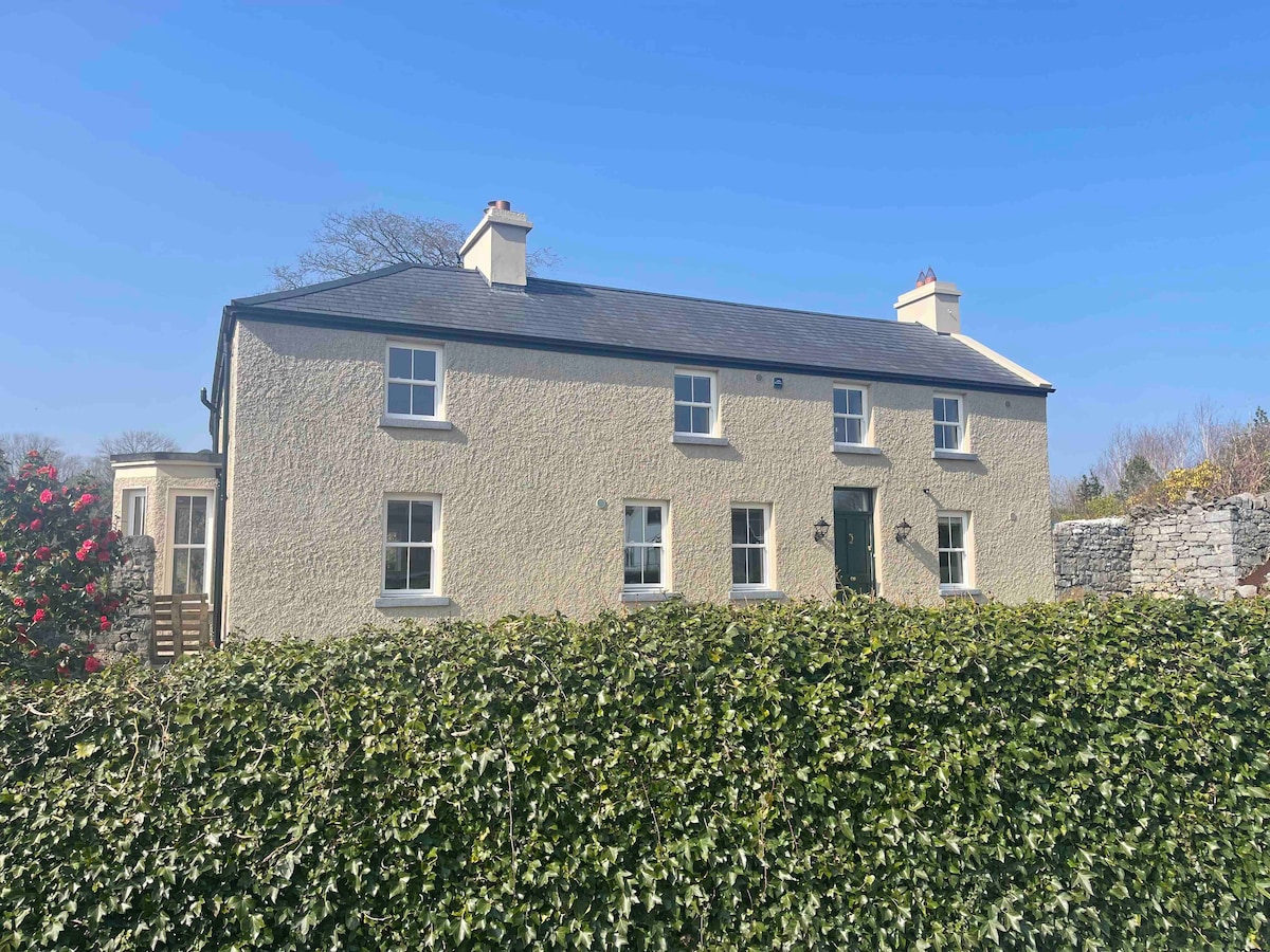 CloghbrackMass-rock · 1438 yd
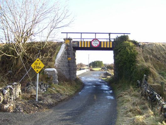 bridgebridge · 1759 yd
 IndicatedFairy fort / ringfort · 1.1 mi
 Corrofin CastleCastle · 2.2 mi
 Knockmoy AbbeyHeritage attraction · 4.1 mi
 Common WhitebeamCommon Whitebeam · 4.9 mi
 SycamoreSycamore · 5.0 mi
 Mass RockNamed rock · 6.0 mi
 Kilcoona Round TowerHeritage attraction · 8.3 mi
 Ballinduff BayBay · 9.9 mi