What is recorded here
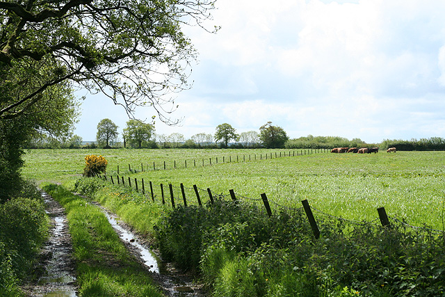
A named place photographed at this map point in Mid Devon.
Dunkeswell on Madford Hill rises to approximately 230 metres and is part of the East Devon ridgeway, formed of Devonian slates and sandstones. It lies within the Dartmoor fringe area, where prehistoric remains and folklore of Celtic and early Saxon origins are common, linking it to the region's broader cultural and archaeological heritage.
Places near here
 VR Postbox at MadfordOld post box · 1134 yd
 Wagon House at Middle Mackham FarmListed building · 1217 yd
 Bennett's WoodWood · 1.7 mi
 Hemyock CastleScheduled monument · 2.0 mi
 Old Milestone near Beacon Hill, Upottery ParishMonument or public art · 3.4 mi
 Old Milestone. Upottery VicarageMonument or public art · 3.6 mi
 Dunkeswell TurburyNature reserve · 3.6 mi
 Quarts MoorViewpoint · 3.7 mi
 Dumpdon HillMountain / peak · 4.4 mi
 North HillMountain / peak · 4.4 mi
 LaneEnd CrossVisitor information · 4.6 mi
 Wooden sculpture on Staple HillPublic sculpture · 6.5 mi
Other information
Photo: Martin Bodman · CC BY-SA 2.0