What is recorded here
Scotland's National Record of the Historic Environment records Dunkeld, Craig Wood as Bank (earthwork)(s) (period Unassigned), Fort (period Unassigned), Rig and Furrow (medieval) - (post Medieval). The official map says its point is accurate as follows: NGR given to the nearest 10m. The record does not by itself mean that the public may enter the place.
The historic-place record does not grant public access. Check current conditions and ownership before entering land or a building.
Places near here
 Craig WoodBuilding(s) (period Unassigned), Enclosure(s) (period Unassigned), Mound(s) (period Unassigned), Wall(s) (period Unassigned) · 193 yd
 Dunkeld, HaughendCross Incised Rock (period Unknown) · 381 yd
 Eastwood HouseCountry House (19th Century) · 710 yd
.jpg?width=1280) The Birnam OakHeritage attraction · 760 yd
The Birnam OakHeritage attraction · 760 yd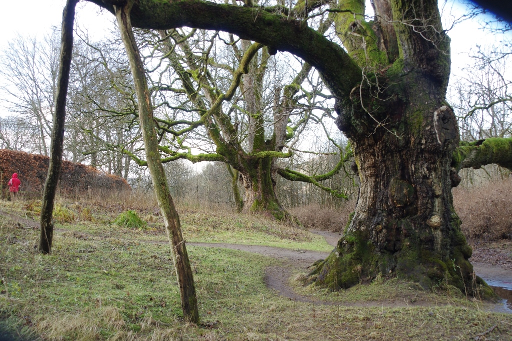 The Young PretenderSycamore · 773 yd
 Birnam RiversideWood · 843 yd
 The TaybankMemorial · 936 yd
 Dunkeld, Tay Terrace, SurgerySurgery (19th Century) · 944 yd
 Atholl Arms HotelMemorial · 985 yd
 Atholl Memorial FountainHeritage attraction · 1074 yd
.jpg?width=1280) Cathedral Street, DunkeldNo Class (event) (period Unassigned) · 1171 yd
Cathedral Street, DunkeldNo Class (event) (period Unassigned) · 1171 yd Battle of DunkeldMajor battlefield · 1354 yd