What is recorded here
Dundrum Castle occupies a narrow ridge above the River Slang, where a twelve-century fortress and a later tower house share the same stubborn ground. John de Clahull shaped the first defence around 1187, drawing a broad ditch across the top and fitting it with a triple-slotted drawbridge. Beneath the walls, a stone-lined watercourse carried rain and life through the rock, while a garderobe shaft dropped waste into darkness below. The older castle did not disappear so much as sink beneath the newer one, still holding the shape of hands that built it.
Dundrum Castle is recorded as a ruins in County Dublin. Its open map record supplies this location and any linked names or public references.
Places near here
 CastleCastle, Anglo-Norman masonry castle · 3 yd
 Ecclesiastical enclosure in DundrumEcclesiastical enclosure · 659 yd
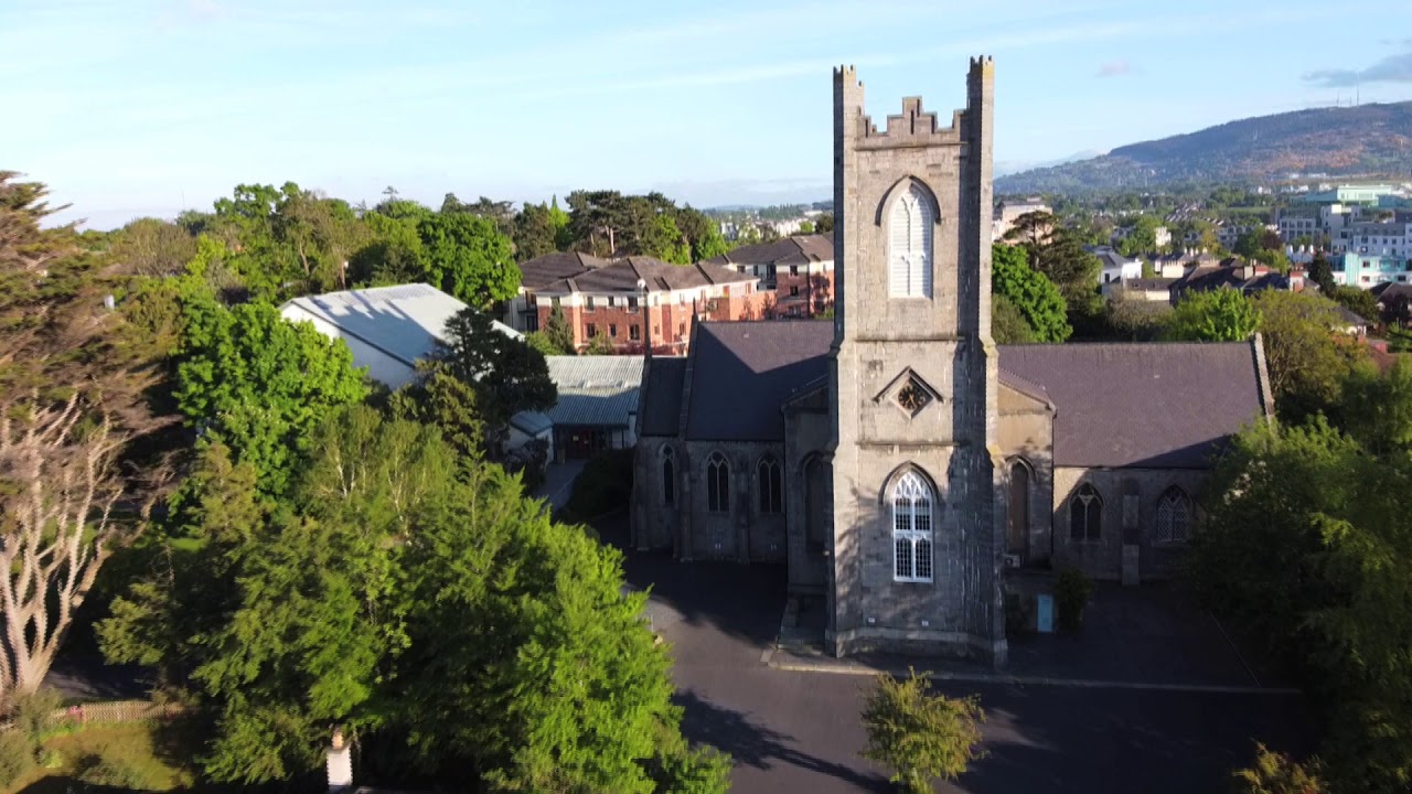 Church, Grave ydChurch · 678 yd
 Airfield FarmHeritage attraction · 885 yd
 European long distance path E8 - part IrelandWalking route · 1243 yd
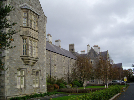 Central Mental Hospitalhospital/infirmary · 1521 yd
 Nature Trail 1400 OrchardVisitor information · 1.1 mi
 European YewEuropean Yew · 1.2 mi
 Nature Trail 1600 Holm oakVisitor information · 1.2 mi
 Church (site of)Church · 1.2 mi
 Roebuck CastleCastle, unclassified · 1.3 mi
 Lebanon CedarLebanon Cedar · 1.4 mi