What is recorded here
Scotland's National Record of the Historic Environment records Dunavil Forth (possibly) as Obstruction (period Unassigned)(possible). The official map says its point is accurate as follows: NGR given to the nearest 1m. The record does not by itself mean that the public may enter the place.
The historic-place record does not grant public access. Check current conditions and ownership before entering land or a building.
Places near here
 Black RockHeritage attraction · 11 mi
 Annalong Corn MillMill · 11 mi
 Mourne Coastal Route: Annalong - A Granite PortVisitor information · 11 mi
 Annalong Coastal PathWalking route · 11 mi
 Mullartown HouseHotel · 11 mi
 CHURCH SITE & ENCLOSURE: KILMELOGE in Ballyveagh MoreCHURCH SITE & ENCLOSURE: KILMELOGE · 12 mi
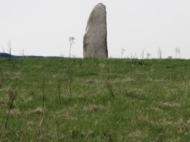 LongstoneArchaeological place · 12 mi
 Robert Hill Hanna VC - First World War HeroVisitor information · 12 mi
 Hanna's Close WalkWalking route · 12 mi
 CASHEL?: OLD CASTLE (unlocated) in GlasdrummanCASHEL?: OLD CASTLE (unlocated) · 13 mi
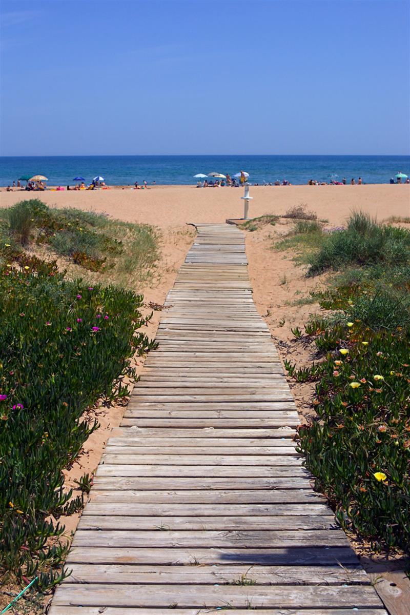 Beach - Costa del CeanfieldBeach / strand · 13 mi
 Cranfield PointHeadland · 13 mi