
What is recorded here
Double-arched bridge carrying road over unnamed stream/mill race, built c. 1800, having V-profile rubble stone cutwater to the central pier to the south and south elevations. Segmental-headed arches having roughly dressed cut stone voussoirs; rubble stone construction to the arch barrel. Random rubble stone construction to pier, spandrels, and parapets; cut stone stringcourse at road deck level. Some repairs to parapets in places; rendered coping over parapets. Tarmacadam deck with grass verges. Located in the rural countryside to the south-east of Manorcunningham, and a short distance to the west of Drumoghill Catholic church (see 40905407).
This simple but appealing double-arched road bridge retains much its early character and form, and is an appealing feature in the rural landscape to the south-east of Manorcunningham. This bridge is robustly-constructed in local rubble stone masonry, and its continued survival and use stands as testament to the quality of its original construction, and of the skill of the masons involved. The form of this bridge and the construction of the arches suggests that this bridge may date to the second half of the eighteenth century, a period that witnessed a large expansion in the rural road network in Ireland (and the subsequent building of numerous bridges), which was mainly carried out by the Grand Juries (the forerunners of the County Councils). The cut stone stringcourse at road deck level is an interesting feature that helps to elevate this bridge above many of its contemporaries in Donegal. This bridge spans a former mill race associated with former corn and flax mills to the east of site (now mostly demolished and ruinous). This appealing bridge is an integral element of the built heritage and transport heritage of the local area, and makes a positive contribution to the landscape.
This does not grant access. Most recorded buildings are privately owned; view them only from public ground unless the owner allows entry.
Places near here
 bridgebridge · 108 yd
 St. Columba’s Catholic Churchchurch/chapel · 122 yd
 Giants BedFortification · 1666 yd
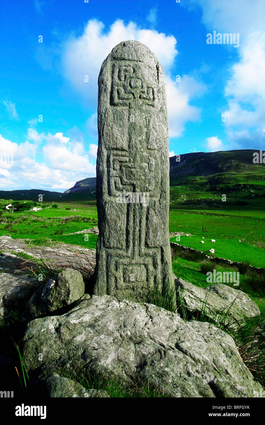 Pluck Standing StoneArchaeological place · 1.5 mi
 CastleCastle, unclassified · 2.2 mi
 Mongorry HillMountain / peak · 3.2 mi
 Dry Arch MonumentHeritage attraction · 3.9 mi
 European YewEuropean Yew · 3.9 mi
 RowanRowan · 4.0 mi
 Lurgybrack Open FarmHeritage attraction · 4.1 mi
 PalaceHouse, fortified house · 4.5 mi
 Battle of Scarrifholisbattle · 8.0 mi
Other information
Photo: National Inventory of Architectural Heritage · Website use allowed for educational or private purposes with source credit