What is recorded here
A bridge is shown in this area on the Down Survey (1654-6) map: no visible evidence for it survives. An inspection in 1991 recorded a structure interpreted as the remains of a bridge on the S bank of the river immediately to W of the current bridge and was described as follows: ‘S shore of river immediately to W of modern bridge. Ruined. Stone bridge only S portion surviving on S bank. (New bridge now in use). This stone bridge is rendered in part but at the corner and for a stretch 3.6m long irregular cut stone can be seen.' This is probably the remnants of the bridge depicted on the OS 1:2500 plan (surveyed 1909-12). There is no visible trace of this structure.
Compiled by: Paul Walsh
Date of upload: 11 March 2014
This remains an important historical record, but the official description says the monument is no longer visible or has been destroyed. The monument record does not grant public access. Check the route and ask the landowner before entering private land.
- What survives
- No visible remains or recorded as destroyed
Places near here
 Round Tower (in Ruins)Round tower · 423 yd
 Stone crossCross, High cross · 487 yd
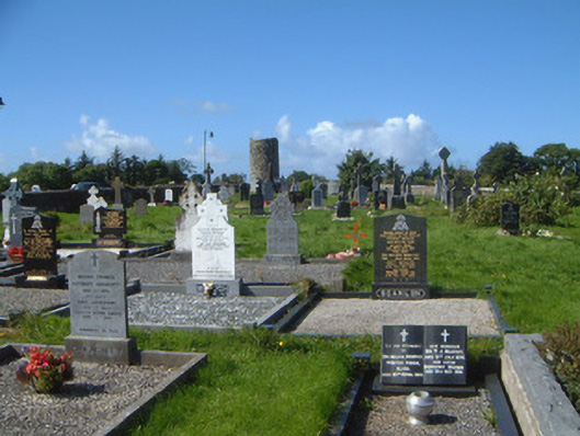 graveyard/cemeterygraveyard/cemetery · 553 yd
 Grave of WB YeatsHeritage attraction · 558 yd
 Drumcliff CemeteryGraveyard · 571 yd
 Saint Columba's Church (Drumcliff)church/chapel · 580 yd
 CastleCastle, unclassified · 734 yd
 Castle (in Ruins)Castle, unclassified · 1.2 mi
 Floods WoodForest · 1.3 mi
 Paddy McGowan's WoodWood · 1.8 mi
 Finned PointHeadland · 2.0 mi
 Kings MountainMountain / peak · 2.1 mi