What is recorded here
This monument stands on elevated arable land. It is a sub-circular mound 9m to 10m in diameter and 75cm in maximum height. A kerb of small stones survive around much of the circumference but is absent or concealed at the SW. Three set stones, about 1m inside the kerb in the NE quadrant and at the S, may indicate an inner kerb. There is a hollow measuring some 3.50m by 2m at the centre of the mound where a slab 1.2m by 80cm, lies partly embedded in the ground (de Valera and O Nuallain 1972, 97, no. 4).
The above description is derived from the published 'Archaeological Inventory of County Laois' (Dublin Stationery Office, 1995) compiled by P. David Sweetman, Olive Alcock and Bernie Moran. In this instance the entry has been revised and updated in the light of recent research.
Revised by: Paul Walsh
Date of upload: 19 March 2013
See attached document with a plan and section of the monument.
The monument record does not grant public access. Check the route and ask the landowner before entering private land.
- What survives
- Recorded monument
Places near here
 Enclosure in LuggacurrenEnclosure · 1231 yd
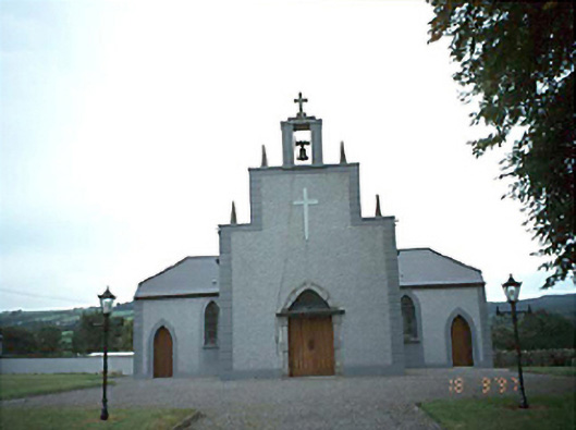 Catholic Church of the Holy Rosarychurch/chapel · 1.4 mi
 Enclosure in Fallowbeg MiddleEnclosure · 1.7 mi
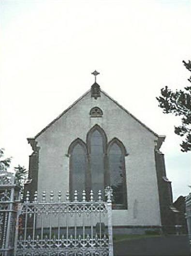 Saint Mary's Catholic Churchchurch/chapel · 1.9 mi
 Tullamoy Castle (ruins)Castle · 3.1 mi
 Bawn in MilltownBawn · 3.1 mi
 Timahoe Church and Round TowerVisitor information · 3.2 mi
 DM PenderMemorial · 4.5 mi
 Mass Rock WalkWalking route · 4.9 mi
 Cobbler's Castle WalkWalking route · 5.1 mi
 Mass RockNamed rock · 5.2 mi
 Oughaval Wood MapVisitor information · 5.2 mi