
What is recorded here
The National Monuments Record of Wales records Dowlais as Settlement from the Post Medieval period. The saved point comes from the official national record. Inclusion does not by itself mean that the public may enter the place.
The historic-place record does not grant public access. Check current conditions and ownership before entering land or a building.
Places near here
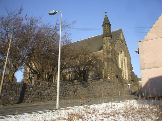 St John's Church, Dowlais (disused)Church, cross or graveyard · 83 yd
 Beulah English Baptist Chapel, Victoria Street, Dowlais, Ward 4Chapel · 187 yd
 Monument to the iron and steel industryHeritage place · 277 yd
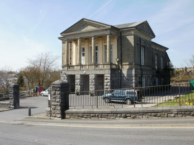 The Guest Memorial Sports & Social Club, DowlaisHeritage place · 319 yd
 PenydarrenHousing Estate · 949 yd
 Pant Cemetery Chapel, Pant Cemetery, PantcerddinenChapel · 1540 yd
 Beyond the buffers at Brecon Mountain RailwayMountain or hill · 1.1 mi
 The end of the line, Pant Station, Brecon Mountain RailwayMountain or hill · 1.2 mi
 Derelict Morlais Castle Inn, Merthyr TydfilCastle, fort or tower · 1.3 mi
 Merthyr Rising, Castle Inn, High Street, Merthyr TydfilBattle Site · 1.4 mi
 Spring blossom at Cyfarthfa CastleCastle, fort or tower · 1.4 mi
 Woodland in Taff valley south of Pontsticill ReservoirForest or wood · 1.5 mi
Other information
Photo: Ben Brooksbank (Geograph member) · CC BY-SA 2.0