What is recorded here
The National Monuments Record of Wales records Dowlais Free Drainage System, Leat as Leat from the Post Medieval period. The saved point comes from the official national record. Inclusion does not by itself mean that the public may enter the place.
The historic-place record does not grant public access. Check current conditions and ownership before entering land or a building.
Places near here
 Twyn-y-Waun, Quarry East ofQuarry · 138 yd
 Raslas Pond;Rhaslas Pond (Dowlais Free Drainage System)Reservoir · 665 yd
 Halfway House, ReservoirReservoir · 1126 yd
 Truck carrying coal, Ffos-y-fran Opencast MineOld home or work place · 1201 yd
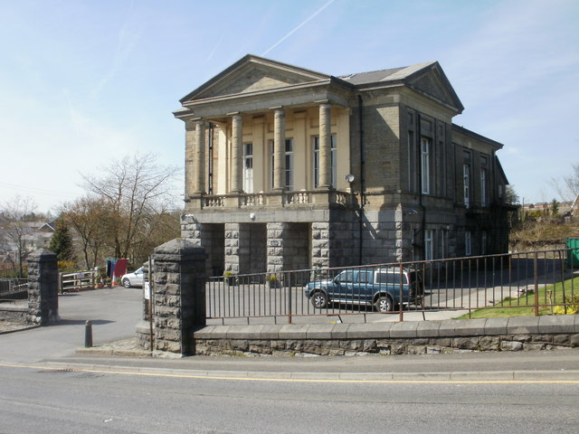 The Guest Memorial Sports & Social Club, DowlaisHeritage place · 1.3 mi
 Rhymney War MemorialMemorial · 1.5 mi
 Mynydd FochriwMountain / peak · 1.8 mi
 Beyond the buffers at Brecon Mountain RailwayMountain or hill · 2.2 mi
 The end of the line, Pant Station, Brecon Mountain RailwayMountain or hill · 2.3 mi
 Tyla-du PlantationForest · 2.5 mi
 Woodland in Taff valley south of Pontsticill ReservoirForest or wood · 2.5 mi
 Spring blossom at Cyfarthfa CastleCastle, fort or tower · 2.8 mi