What is recorded here
Doonfarvagh is a well-preserved subrectangular cashel on the lee side of the highest point of Inis Meáin, measuring 27.35m long and 23.7m wide. Its drystone wall encloses an internal terrace and interconnecting steps, with the entrance facing east. The fortress stands close to the summit, suggesting its builders valued both defence and the wide view across the water.
Close to the summit on the lee side of the highest point of Inis Meáin. This Nat. Mon., known locally as Dún Fearbhaí or Mothar, is a well-preserved subrectangular cashel (L 27.35m; Wth 23.7m). Defined by a drystone wall with an internal terrace and a series of interconnecting steps. Entrance at E. (O'Flanagan 1927a, Vol. 3, 262-4; Anon. 1886b, 223; Westropp 1895, 271)
The above description is derived from the published 'Archaeological Inventory of County Galway Vol. I - West Galway'. Compiled by Paul Gosling (Dublin: Stationery Office, 1993).
Date of upload: 05 August 2010
This monument was taken into Ownership under the National Monuments Acts 1930 to 2014 - National Monument 42.
GA119-086---- Dun Farvagh 002.jpg
GA119-086---- Dun Farvagh 003.jpg
GA119-086---- Dun Farvagh 004.jpg
Doonfarvagh, Ceathrú An Lisín is a well-preserved subrectangular cashel, likely dating to the early medieval period, situated near the summit of Inis Meáin. Locally known as Dún Fearbhaí or Mothar, it is associated with traditional names that may reflect early Irish settlement or later folklore connected to fairy belief.
The monument record does not grant public access. Check the route and ask the landowner before entering private land.
- What survives
- Recorded monument
Places near here
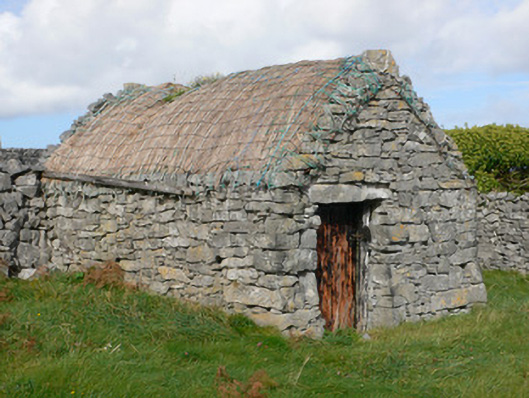 outbuildingoutbuilding · 130 yd
 TobercanonaghHoly well · 289 yd
 Kilcanonagh Church (in Ruins)Church · 334 yd
 Cross in Ceathrú An LisínCross · 791 yd
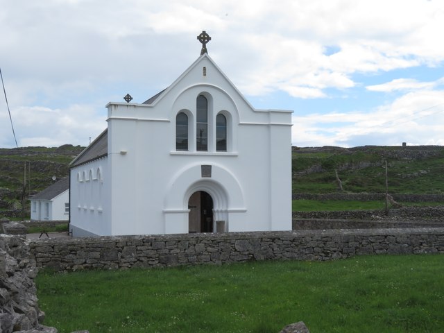 Inis MeáinIsland · 883 yd
 Dún ChonchúirHeritage attraction · 1123 yd
 puffing holeHeritage attraction · 1.7 mi
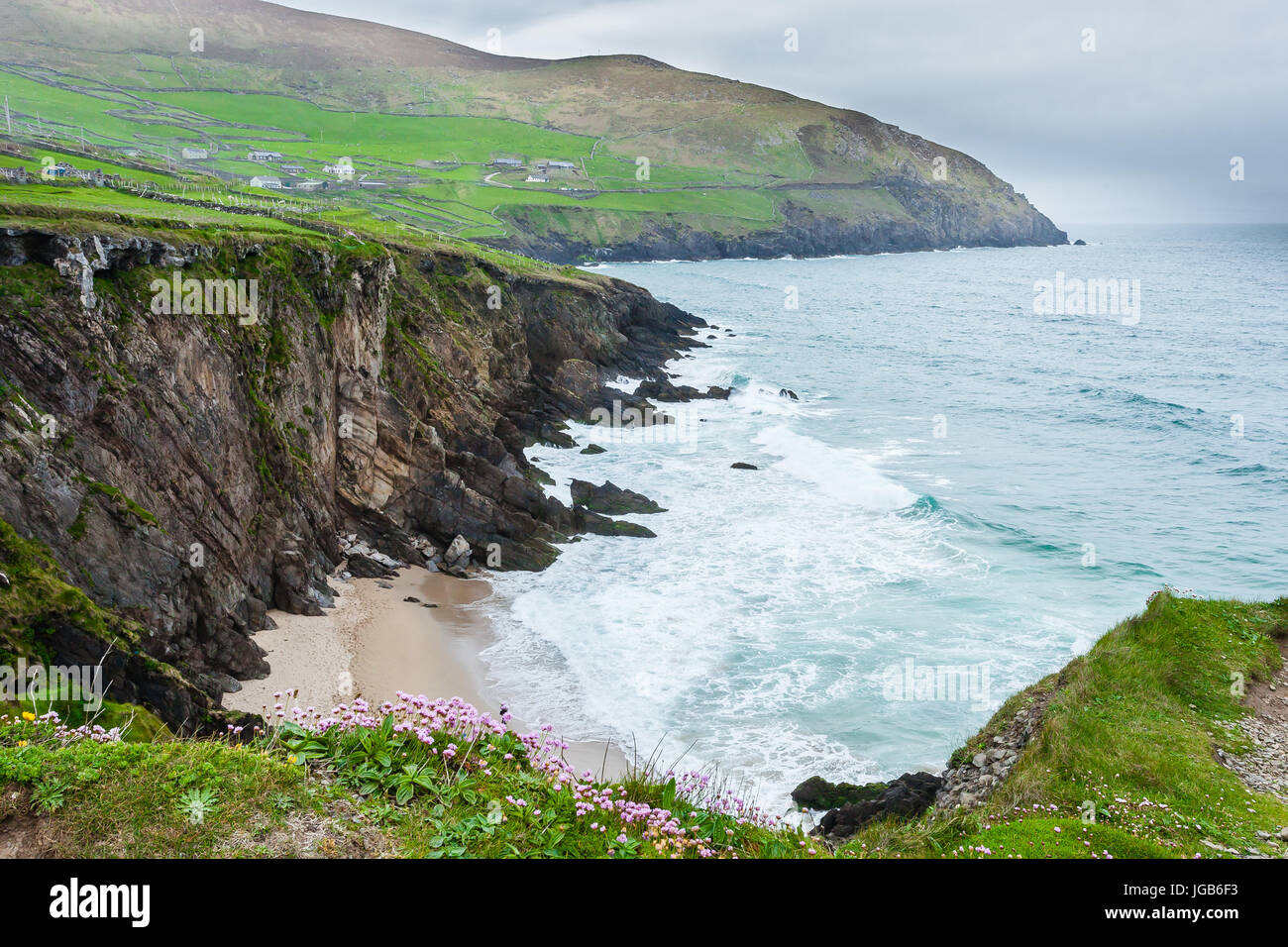 Ceann na FaochanaHeadland · 2.4 mi
 Inis OírrIsland · 2.7 mi
 Lár na TráBeach / strand · 2.7 mi
 Caisleán Uí BhriainCastle · 2.8 mi
 Port na CilleBeach / strand · 2.9 mi