What is recorded here
On slightly raised ground overlooking pastureland. An almost square area (N-S 44.5m, E-W 43.6m) defined by a poorly preserved inner bank, a well-preserved flat-bottomed fosse and an outer bank which is overlain by a later field wall from SW to N. Possible stone-facing is visible on the inner bank at NNW, and the remains of a causeway at E may be original.
The above description is derived from the published 'Archaeological Inventory of County Galway Vol. II - North Galway'. Compiled by Olive Alcock, Kathy de hÓra and Paul Gosling (Dublin: Stationery Office, 1999).
Date of upload: 05 August 2010
The monument record does not grant public access. Check the route and ask the landowner before entering private land.
- What survives
- Recorded monument
Places near here
 Doonbeg FortRuins · 8 yd
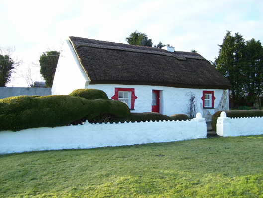 house, DOONBEGhouse · 337 yd
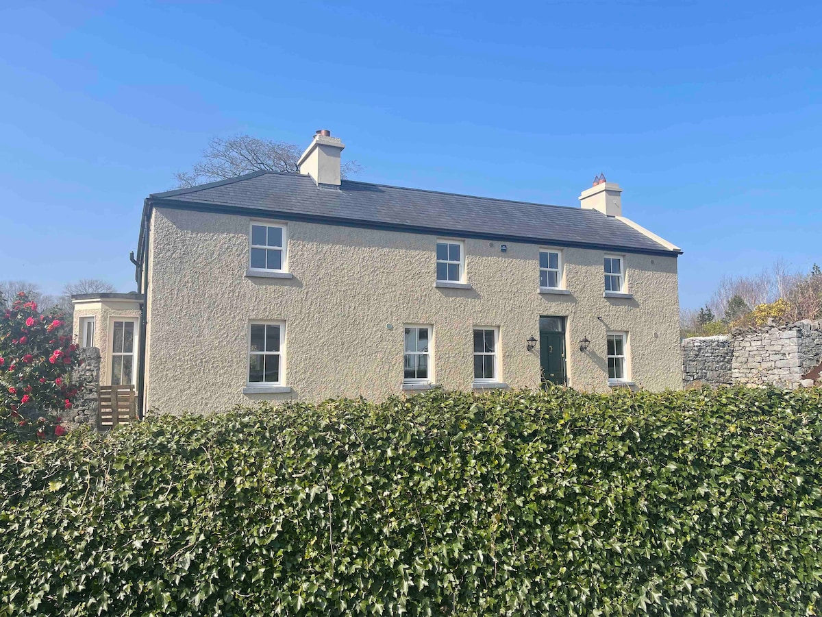 Cloghbrack, DoonbegMass-rock · 525 yd
 House, indeterminate date in BallinphuilHouse, indeterminate date · 1338 yd
 Ballinderry Castle, Ballinderry (clare By.)Castle, tower house · 1746 yd
 Castle, unclassified in BallinaCastle, unclassified · 2.0 mi
 Knockmoy AbbeyHeritage attraction · 3.2 mi
 Common Whitebeam, Crumlin Park House, GalwayCommon Whitebeam · 4.0 mi
 Sycamore, Crumlin Park House, GalwaySycamore · 4.1 mi
 Mass RockNamed rock · 7.0 mi
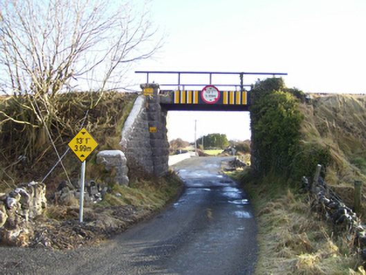 bridge, BALLYNASTUCKAUN, DOONBEGbridge · 459 yd
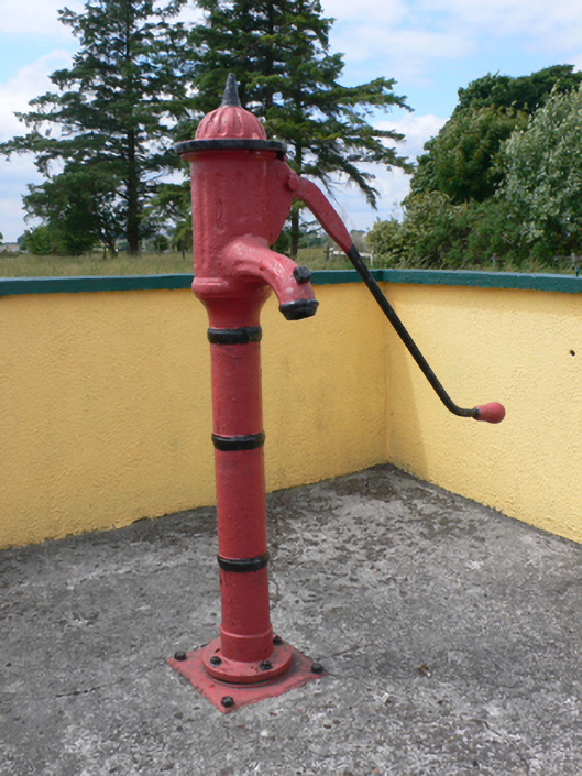 water pump, DOONBEGwater pump · 507 yd