
What is recorded here
Doonalin Coastal Promontory Fort stands on the south shore of Inch Island in County Donegal, Ireland, facing Mill Bay. A natural four-metre drop guards the east while a deep fosse and bank defend the west, creating a narrow coastal stronghold where the sea does the heavy lifting. Road building has scarred the landward defenses, yet the southern edge still holds its shape against the water.
Marked Doonalin on the 2nd and 3rd editions of the OS 6-inch maps. The site consists of a S facing promontory defined on the E by a natural drop c. 4m and on the W by a fosse 5m to 6m deep, a bank and an outer fosse. These features appear to have continued along the N or landward side also but they have been damaged by road building. It is situated on the S shore of Inch Island facing Mill Bay.
The above description was derived from the 'Archaeological Survey of County Donegal. A description of the field antiquities of the County from the Mesolithic Period to the 17th century.' Compiled by: Brian Lacey with Eamon Cody, Claire Cotter, Judy Cuppage, Noel Dunne, Vincent Hurley, Celie O'Rahilly, Paul Walsh and Seán Ó Nualláin (Lifford: Donegal County Council, 1983). In certain instances the entries have been revised and updated.
Date of upload: 22 September 2008
The monument record does not grant public access. Check the route and ask the landowner before entering private land.
- What survives
- Recorded monument
Places near here
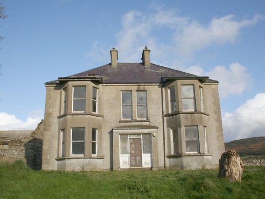 Drum Housefarm house · 568 yd
 King's GraveArchaeological place · 1147 yd
 Carnaghan Portal TombPortal tomb · 1149 yd
 Inch Island Standing Stones and Megalithic TombPublicly named standing stone · 1158 yd
 Mullanadee ShoreBeach / strand · 1431 yd
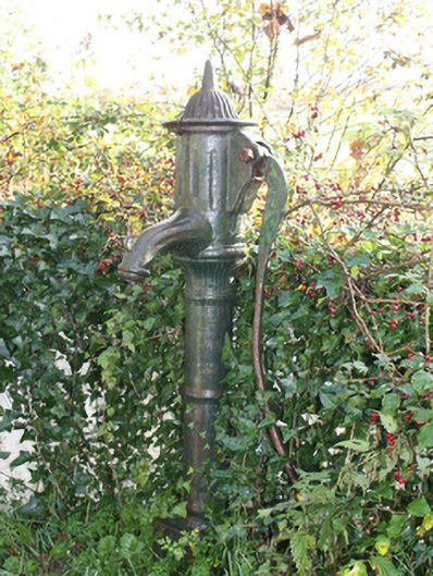 water pumpwater pump · 1550 yd
 InchIsland · 1654 yd
 Old CastleCastle, tower house · 1.0 mi
 Inch FortCastle · 1.8 mi
 Lackan ForestForest · 1.9 mi
 Brown’s PointHeadland · 2.1 mi
 Mass RockNamed rock · 2.1 mi
Other information
Photo: Credit not shown in the picture search · Rights wording not checked; contact us if this picture should be removed