
What is recorded here
At the top of a sheer cliff, on the S shoreline of the River Shannon estuary. The site is completely covered by a dense overgrowth of bushes and briars, but appears to be a level D-shaped area (c. 20m E-W; c. 6m N-S) defined by the straight cliff-edge to the N, and enclosed E->W by a fosse (D 0.6m; Wth 3m) with an external flat-topped bank (int. H 1.1m; ext. H 1.6m; Wth at top 6m), with a berm (Wth 4m) at the external base of the bank, beyond which is a steep scarped edge (H 3.1m; Wth 6m). At the base of the scarp the ground is waterlogged.
Compiled by: Denis Power
Date of upload: 26 August 2011
The monument record does not grant public access. Check the route and ask the landowner before entering private land.
- What survives
- Recorded monument
Places near here
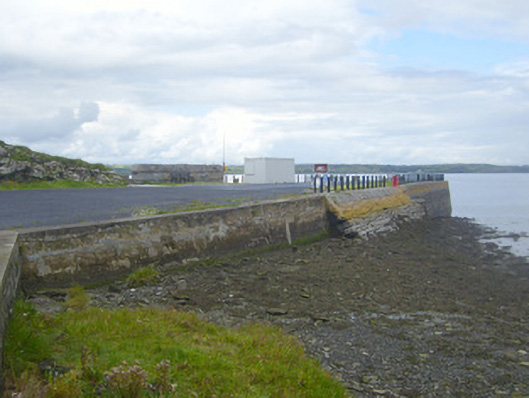 New Pierpier/jetty · 569 yd
 bridgebridge · 1634 yd
 Loghill HoCastle, unclassified · 1.0 mi
 Enclosure in Loghill (shanid By.)Enclosure · 1.3 mi
 Mound in Killacolla (shanid By.)Mound · 1.3 mi
 Prospect HillMountain / peak · 1.4 mi
 Castle (Site of)Castle, unclassified · 1.5 mi
 Mountshannon PointHeadland · 2.0 mi
 Boatman's PointHeadland · 2.2 mi
 Mountshannon WoodWood · 2.3 mi
 Labasheeda QuayVisitor information · 2.4 mi
 Mountshannon EstateHeritage attraction · 2.4 mi
Other information
Photo: Credit not shown in the picture search · Rights wording not checked; contact us if this picture should be removed