What is recorded here
In gently rolling farmland, some 4km to the NW of Portumna. Overgrown with thorn and bramble, this tomb has been used as a dump for field stones. The remains comprise a gallery (L 4m; Wth 1m), aligned approximately E-W, represented by three stones at N and two at S. Two outer-wall stones stand to the S of the gallery and a displaced slab lies at its W end. The structure is embedded in a mound (L 12m; Wth 8m
average). (de Valera and Ó Nualláin 1972, 18–19)
See linked document with details from Ruaidhrí de Valera and Seán Ó Nualláin, Survey of the Megalithic Tombs of Ireland. Volume III. Counties Galway, Roscommon, Leitrim, Longford, Westmeath, Laoighis, Offaly, Kildare, Cavan. (Dublin: Stationery Office, 1972).
Compiled by: Galway Archaeological Survey, UCG
Date of upload: 19 August 2019
Portal dolmen; likely dates to the Neolithic period (c. 4000–2500 BCE). Its orientation and construction reflect early megalithic traditions in Ireland, though its current condition obscures more specific significance.
The monument record does not grant public access. Check the route and ask the landowner before entering private land.
- What survives
- Recorded monument
Places near here
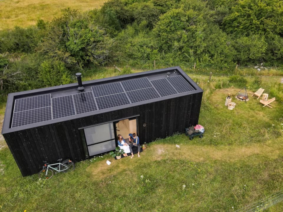 Enclosure in Lecarrow (portumna Ed)Enclosure · 347 yd
 Church HillMountain / peak · 657 yd
 Font in LickmolassyFont · 861 yd
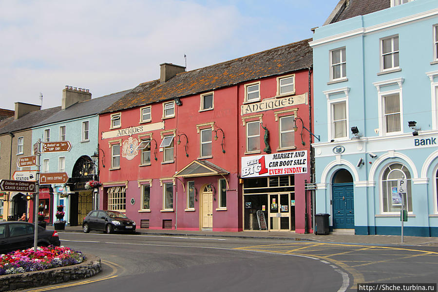 Quarry in Caher (portumna Ed)Quarry · 1613 yd
 Catholic Church of the Ascensionchurch/chapel · 1687 yd
 European YewEuropean Yew · 2.6 mi
 Portumna Forest ParkForest · 2.6 mi
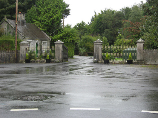 Portumna Castlegates/railings/walls · 2.7 mi
 Gate HouseCastle · 2.7 mi
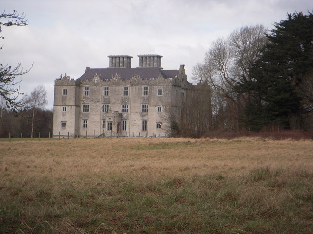 Castle (in ruins)House, fortified house · 2.8 mi
 Stonyisland BayBay · 3.0 mi
 SpindillaunIslet · 3.1 mi