What is recorded here
Dolla Church (in Ruins) is a graveyard in Kilboy (Kilmore parish, North Riding), County Tipperary, Ireland. The site holds a long rectangular church with a later south transept at the east end of its south wall. A small tower stands at the west end as a priest's room, marked by a destroyed doorway in the centre of its east wall. The church keeps a two-centred doorway at the west end of the north wall, a partially destroyed window in the centre of that wall, and later cusped windows at the east end of both side walls.
Situated on a low natural rise in slightly undulating countryside. The present remains consist of a long rectangular church (TN026-061001) with a later S transept added to the E end of the S wall of the church. There is a small priest's room in the form of a small tower at the W end of the church with a destroyed doorway in the centre of the E wall of the tower. The church has a two-centred doorway at the W end of the N wall with a partially destroyed window at the centre of the N wall and later cusped windows at the E end of the N and S walls. There is a large rectangular graveyard with eighteenth and nineteenth-century-headstones. Earthworks, indicative of a possible field system (TN026-061002), were identifed on an aerial photograph (CUCAP, AYO 32) taken in 1969, to the N, NE and E of the church.
Compiled by: Caimin O'Brien.
Date of upload: 22 September 2008
The monument record does not grant public access. Check the route and ask the landowner before entering private land.
- What survives
- Recorded monument
Places near here
 Dolla Church (in Ruins)Church · 28 yd
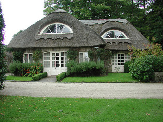 Kilboy Housegate lodge · 294 yd
 Sweet ChestnutSweet Chestnut · 1304 yd
 Enclosure in Kilboy (kilmore Par., North Riding)Enclosure · 1477 yd
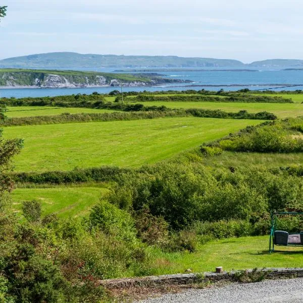 ToberanureHoly well · 1.2 mi
 Silvermines ViewpointViewpoint · 1.7 mi
 Our Lady Assumed into HeavenMemorial · 1.7 mi
 The MinerMemorial · 1.7 mi
 Monaquill Ho.Castle, unclassified · 2.1 mi
 Site of Bawn CastleCastle, unclassified · 2.3 mi
 Silvermine Mountains E TopMountain / peak · 2.7 mi
 Gibbet HillMountain / peak · 3.0 mi