What is recorded here
Disused mines is shown as a ruins on the public map of Bath and North East Somerset. The saved point is the map point or the centre of its mapped shape.
This does not grant access. Check current paths, opening conditions and ownership before entering.
Places near here
 Cave in Bushy NorwoodCave or cavern · 155 yd
 Bathampton WoodWood · 237 yd
 A cave for visitors?Cave or cavern · 471 yd
 Bathampton DownMountain / peak · 538 yd
 Hengrove WoodWood · 751 yd
 Norwood House, University of BathOld home or work place · 826 yd
 Holcombe Swing BridgeHeritage place · 854 yd
 Standing Stone on Claverton Down, BathAncient stone or rock art · 957 yd
 Ralph Allen’s Sham CastleCastle · 1331 yd
 Sham Castle, BathCastle, fort or tower · 1341 yd
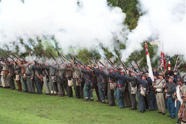 Civil War reenactment at American Museum, BathHeritage place · 1439 yd
 Statue in front of towerMonument or public art · 1478 yd