
What is recorded here
In tillage field, cropmark of oval-shaped area (c. 40m NE-SW; 26m E-W). Depicted as a tree ring on all OS map editions.
Compiled by: Matt Kelleher based on details provided by Jean-Charles Caillère
See attached image
Date of upload/revision: 29 March 2022
The monument record does not grant public access. Check the route and ask the landowner before entering private land.
- What survives
- Recorded monument
Places near here
 Ballynacorra Housefarmyard complex · 411 yd
 TumulusMound · 504 yd
 graveyard/cemeterygraveyard/cemetery · 538 yd
 Metalworking site in Ballynatra (carbery West (w.d.) By.)Metalworking site · 666 yd
 Ballyannan (Bluebell) WoodsForest · 847 yd
 Edward BransfieldMemorial · 1043 yd
 Castle Redmond (Site of)Castle, unclassified · 1251 yd
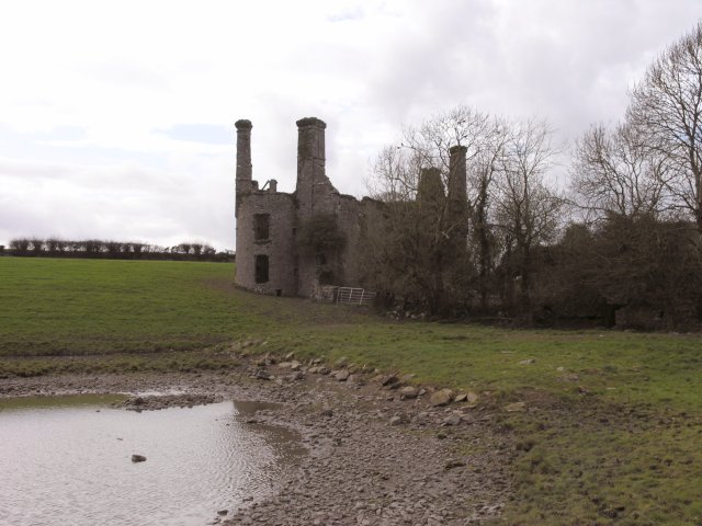 Ballyannan Castle (in Ruins)House, fortified house · 1299 yd
 Noel Collins BridgeVisitor information · 1404 yd
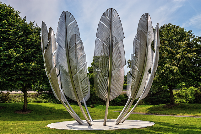 Kindred SpiritsMemorial · 1481 yd
 Jameson Distillery MidletonHeritage attraction · 1.4 mi
 Tower WoodForest · 1.8 mi
Other information
Photo: Credit not shown in the picture search · Rights wording not checked; contact us if this picture should be removed