What is recorded here
Scotland's National Record of the Historic Environment records Dee Village, Sand Pit as Sand and Gravel Workings (period Unassigned). The official map says its point is accurate as follows: NGR given to the nearest 10m. The record does not by itself mean that the public may enter the place.
The historic-place record does not grant public access. Check current conditions and ownership before entering land or a building.
Places near here
 Aberdeen, Bon Accord Street, Ferryhill House HotelHotel (20th Century), House (18th Century) · 81 yd
 Aberdeen, Albury Road, Albury Outdoor Sports Centre PavillionSports Centre (20th Century), Sports Pavilion (20th Century) · 168 yd
 Aberdeen, Ferryhill Parish ChurchChurch (19th Century) - (20th Century) (1877), Church Hall (19th Century) - (20th Century), Flats (20th Century) · 170 yd
 Battle of Aberdeenbattle · 319 yd
 Aberdeen, Ferryhill, Polmuir Road, GeneralGeneral View (period Unassigned) · 416 yd
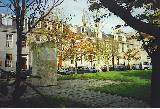 Archibald Simpson Memorial, Bon Accord SquareHeritage place · 540 yd
 Lewis Grassic GibbonMemorial · 551 yd
 Union Square Customer Service DeskVisitor information · 766 yd
 Rose Garden from the top of the Rose HillMountain or hill · 931 yd
 Coat of ArmsHeritage attraction · 1088 yd
 His Majesty's TheatreHeritage attraction · 1142 yd
 Aberdeen CastleCastle (medieval), Motte (medieval)(possible) · 1494 yd