What is recorded here
A fragment with several scores preserved, reading HATA, was recorded lying on the wall of one of the cells in 1869 (Brash 1879, 288). This may be the same stone that was noted at the site in 1938 by Harris (1939, 178). Macalister throws doubt on both identifications, however, and suggests that the stone may have been a fragment of a grooved paving slab (1945, 207).
The above description is derived from O'Sullivan, A. and Sheehan, J. (compilers) 'The Iveragh peninsula: an archaeological survey of South Kerry'. Cork University press. (1996), no. 952. In certain instances the entries have been revised and updated in the light of recent research.
Date of upload: 12 June 2013
The monument record does not grant public access. Check the route and ask the landowner before entering private land.
- What survives
- Recorded monument
Places near here
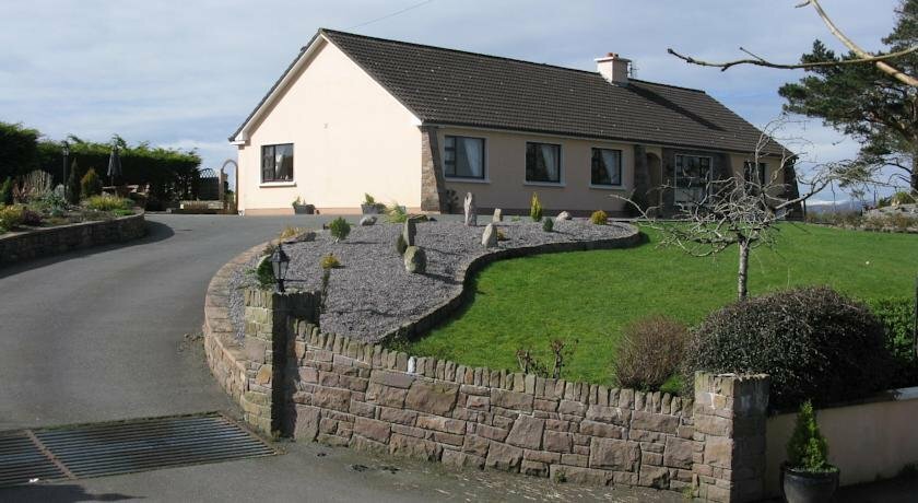 Hut site in KilgobnetHut site · 1 yd
 Holy well in KilgobnetHoly well · 104 yd
 Killoughane Church (in Ruins)Church · 1.3 mi
 Knockane Churchchurch/chapel · 1.6 mi
 Castle Core (in Ruins)Castle, tower house · 1.9 mi
 Ballymalis Castle (in ruins)Castle, tower house · 1.9 mi
 KnockbrackMountain / peak · 2.4 mi
 KnockroeMountain / peak · 2.6 mi
 Dunloe Ogham StonesHeritage attraction · 3.7 mi
 Devil's Ladder RouteWalking route · 3.7 mi
 Japanese pagoda treeJapanese pagoda tree · 3.9 mi
 King Puck statueMemorial · 3.9 mi