What is recorded here
Curlets Mountain is recorded as a mountain / peak in County Down. Its open map record supplies this location and any linked names or public references.
Curlets Mountain rises to approximately 470 metres and is part of the Mourne Mountains, a range known for its granite geology and glacially sculpted landscapes. It is a notable local landmark within a region of international geological and recreational significance.
Places near here
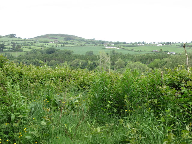 Clarkill WoodForest · 503 yd
 Tea HouseCastle · 810 yd
 SlievenaslatMountain / peak · 982 yd
 Clarkhill WoodForest · 1392 yd
 The Annesley Walled GardenVisitor information · 1415 yd
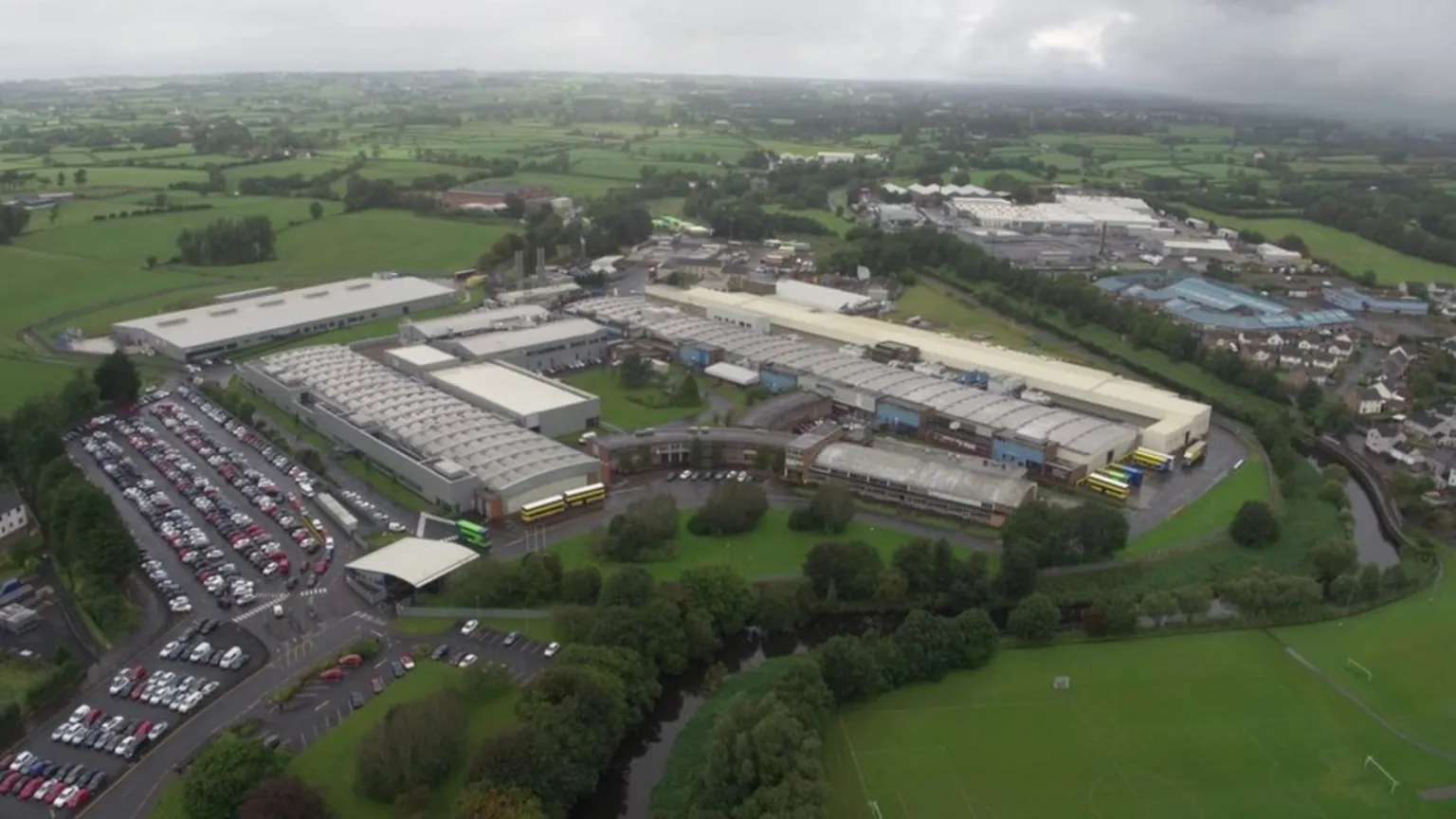 POSSIBLE ENCLOSURE in BallymaginaghyPOSSIBLE ENCLOSURE · 1536 yd
 SpinkaneeCliff · 1617 yd
 Castlewellan CastleVisitor information · 1713 yd
 ENCLOSURE in BallyloughENCLOSURE · 1.0 mi
 Ice HouseCastle · 1.2 mi
 Clonvaraghan MountainMountain / peak · 1.2 mi
 Wood LodgeHouse · 1.2 mi