What is recorded here
In rough grazing, on an area of cutaway bog at the S end of a ridge, to the N of Glengarriff village. Six cupmarks (av. diam. 0.04-0.05m; D 0.01-0.02m) are visible on the NE portion of an area of exposed bedrock. Another cupmarked stone (CO090-027002-) is c. 30m to the N.
The above description is derived from 'The Archaeological Inventory of County Cork. Volume 5' (Dublin: Stationery Office, 2009).
Date of upload: 22 December 2009
Likely dating to the Neolithic or Bronze Age, the cupmarked stone may have had ritual or ceremonial significance, possibly linked to water or fertility, given its location on a cutaway bog. Such markings are often associated with symbolic or astronomical functions in prehistoric landscapes.
The monument record does not grant public access. Check the route and ask the landowner before entering private land.
- What survives
- Recorded monument
Places near here
 CairnCairn, radial-stone cairn · 151 yd
 Man-made underground passage in CarrigrourMan-made underground passage · 249 yd
 Tasmanian bluegumTasmanian bluegum · 1233 yd
 Glengarriff Eccles Hotelhotel · 1276 yd
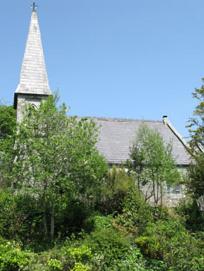 The Old Church Caféchurch/chapel · 1403 yd
 The Blue PoolHeritage attraction · 1654 yd
 Graveyard in CappyaughnaGraveyard · 1692 yd
 Friars IslandIslet · 1.0 mi
 Calf IslandIslet · 1.0 mi
 Lady Bantry's LookoutViewpoint · 1.2 mi
 Glengarriff WoodsWood · 1.5 mi
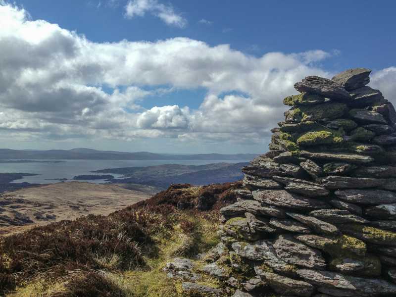 Barraboy Mountain SE TopMountain / peak · 1.7 mi