What is recorded here
Situated on NW-facing slope of rising ground in upland area. Irregular shaped recumbent stone (dims. 0.75m x 0.75m x 0.4m; H 0.35m), the upper surface of which has several cup-marks (avg. diam. 0.05m; D 0.01m) standing on NE edge of small roughly platform representing the remains of a possible children's burial ground standing in SSE quadrant of a possible ecclesiastical enclosure (TN019-027001-) known locally as 'Kyle'. The monument was described in 1957 as 'a very large ringfort, almost levelled, with a possible early church site (TN019-027002-) or burial-ground inside it' (OPW Field Report 19/09/1957). The edges of the cupmarks are very irregular with signs of erosion causing the irregular shape of the hollows. One cupmark has been partially eroded by water with channel running off this hollow. Along the W edge of the stone there are a line of cup-marks which run into each other. There is evidence of pitting on the surface of the stone probably caused by weathering. A series of lines can also be seen running across the surface of the stone. The antiquity of these cupmarks is uncertain along and there irregularity in shape may suggest that they have ben caused by erosion. Alternatively if they are the product of human activity the dating of the hollows is uncertain.
Compiled by: Caimin O'Brien based on information provided by Derek Ryan
Date of revised upload: 14 March 2019
Likely dating to the Neolithic or Bronze Age, the cup-marks on this stone may have held ritual or symbolic significance, possibly related to water, fertility, or celestial observations. Such markings are commonly found in ritual landscapes and may be associated with early ceremonial practices.
The monument record does not grant public access. Check the route and ask the landowner before entering private land.
- What survives
- Recorded monument
Places near here
 Ecclesiastical enclosure in KilparteenEcclesiastical enclosure · 34 yd
 Enclosure in Kilparteen,lackamore (castletownarra Par.)Enclosure · 577 yd
 CastleCastle, unclassified · 1321 yd
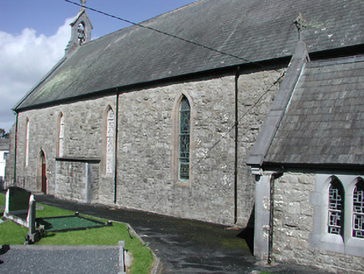 Catholic Church of the Blessed Virgin Marychurch/chapel · 1593 yd
 Giant's GraveArchaeological place · 1635 yd
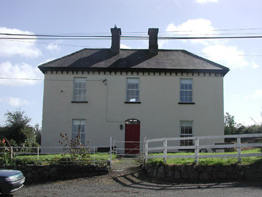 Dower HouseRIC barracks · 1669 yd
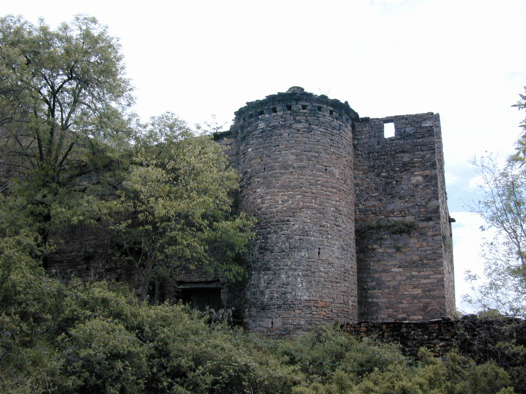 (Site of) Pallas CastleCastle, Anglo-Norman masonry castle · 1.4 mi
 Corbally HillMountain / peak · 1.5 mi
 Mass RockNamed rock · 1.6 mi
 Blessed WellNature reserve · 1.7 mi
 Garrykennedy ForestWood · 2.2 mi
 Coum HillMountain / peak · 2.3 mi